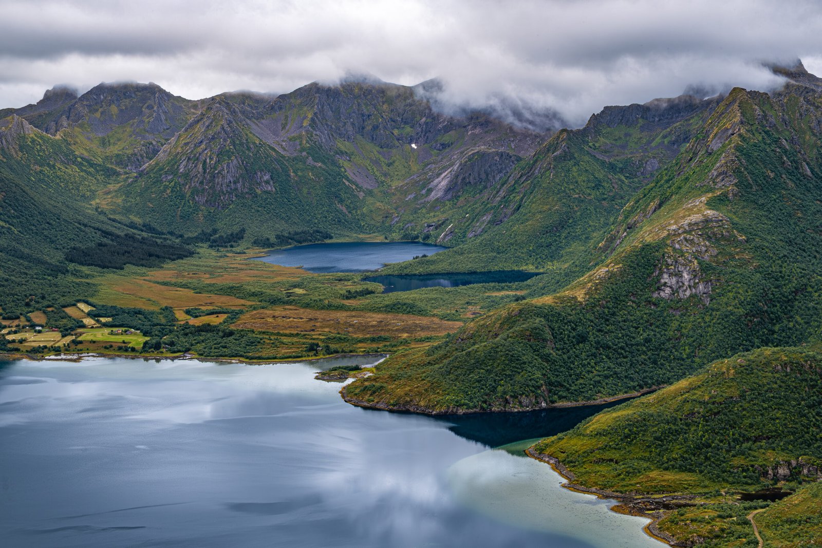
Matmora was our favorite hike on Austvagoya. We met a hiker earlier in the week, who had highly recommended this hike, but described the weather as moody. And moody it was.
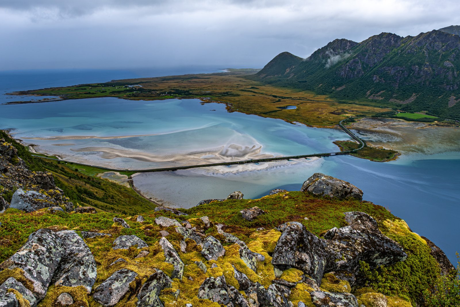
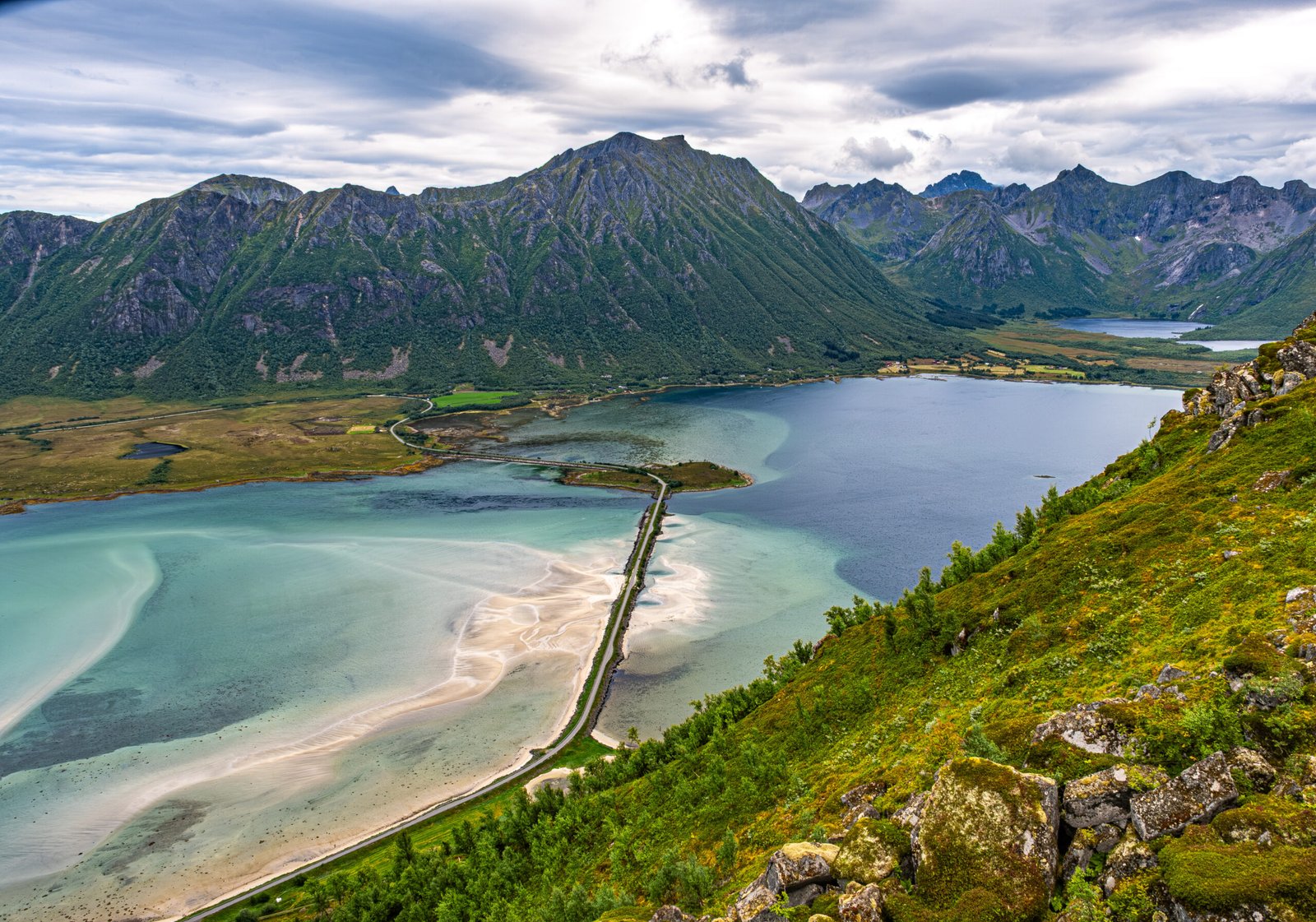
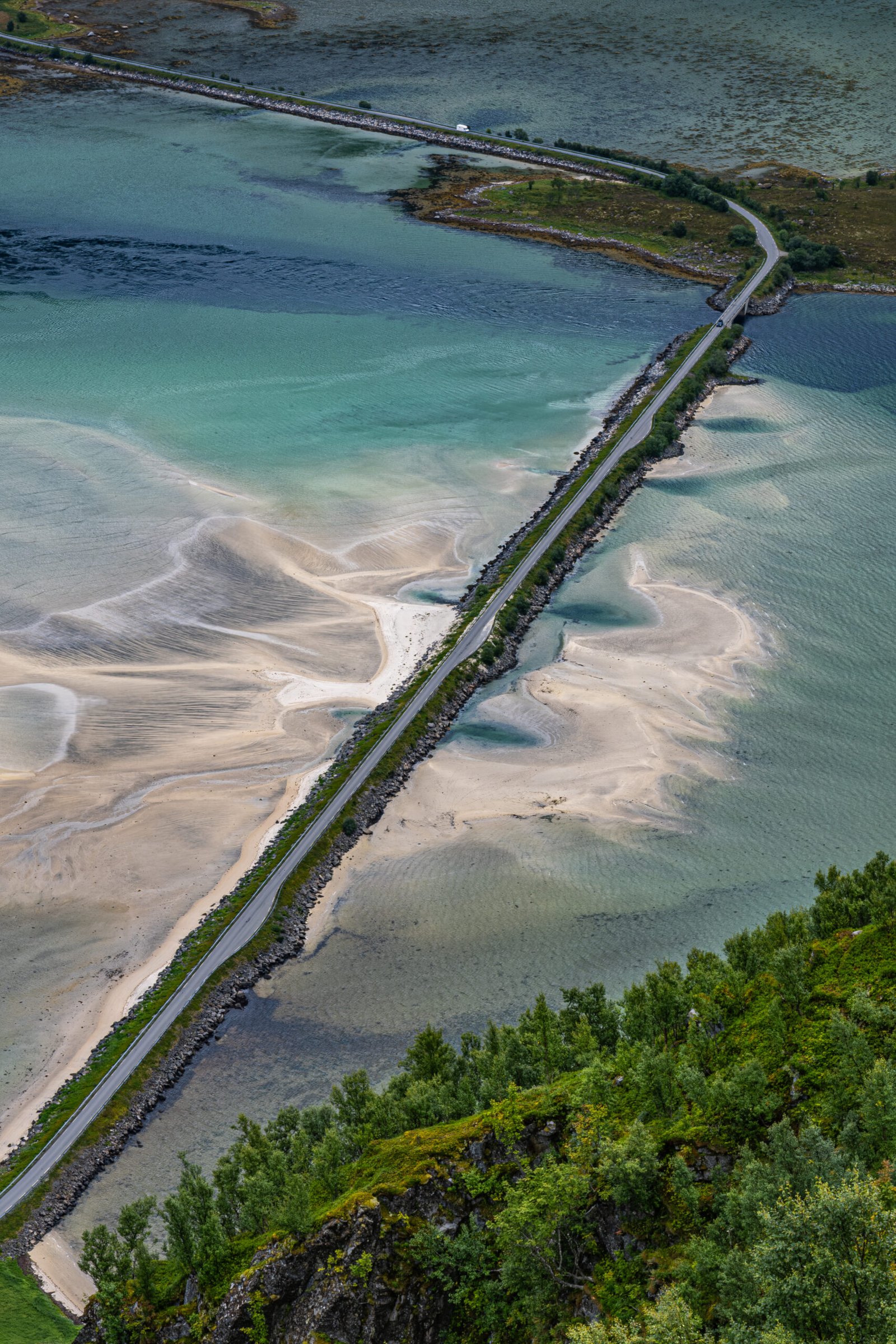
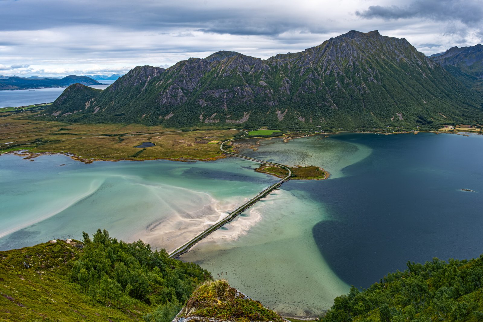
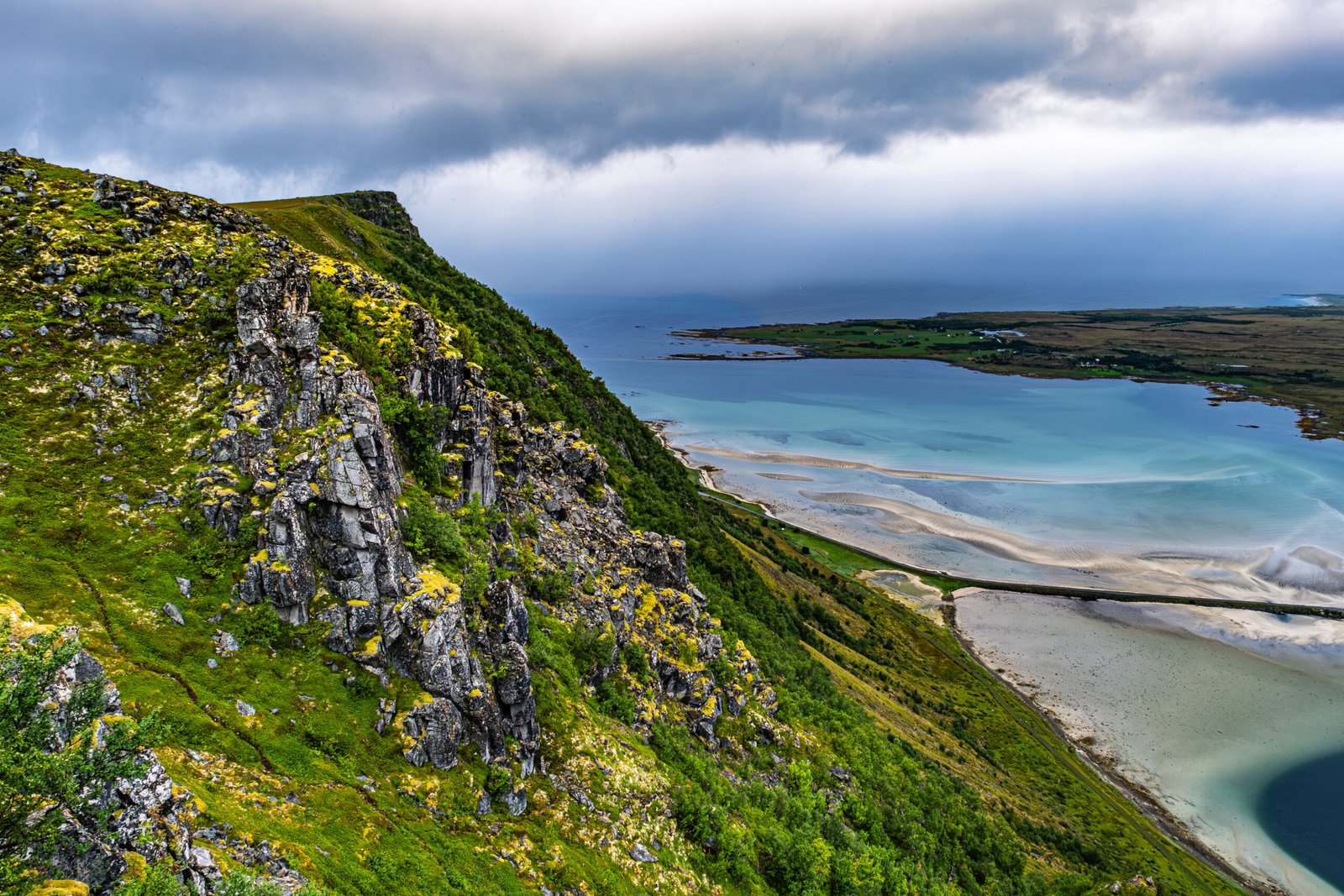
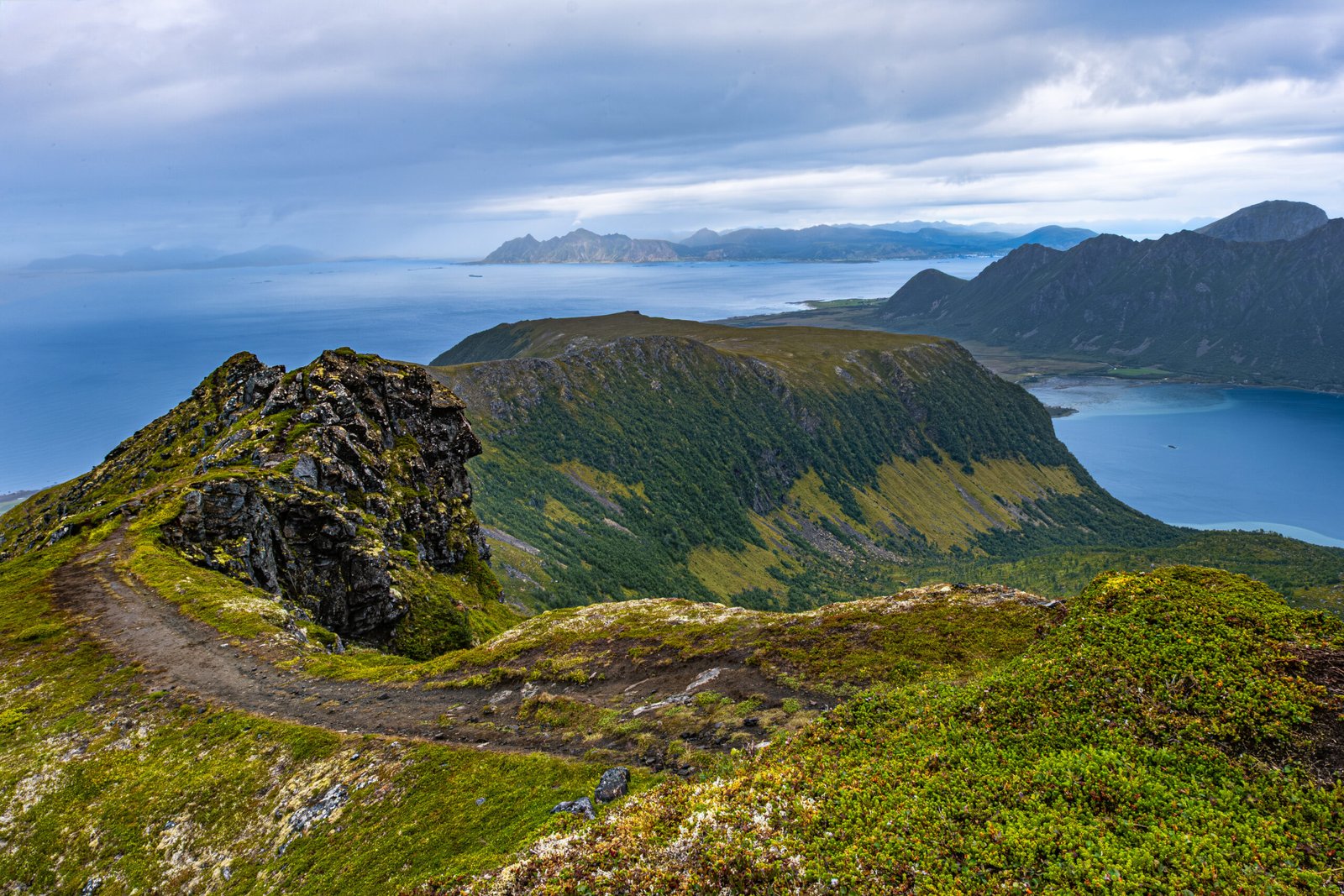
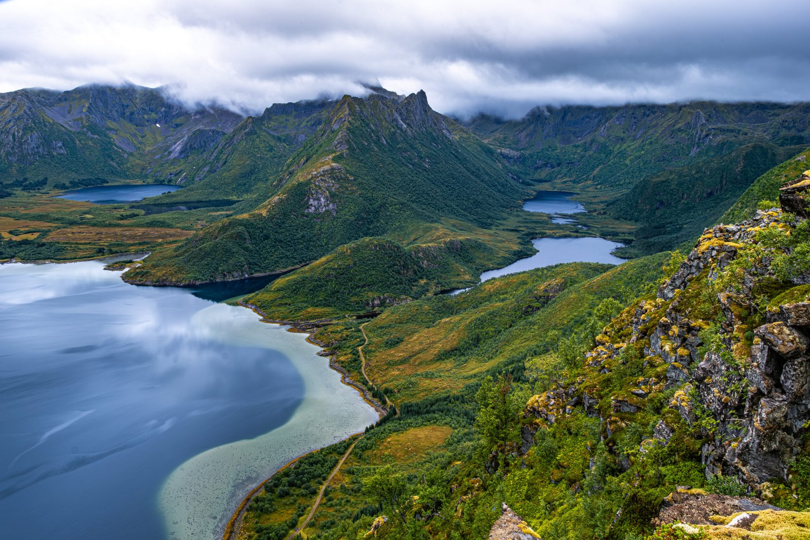
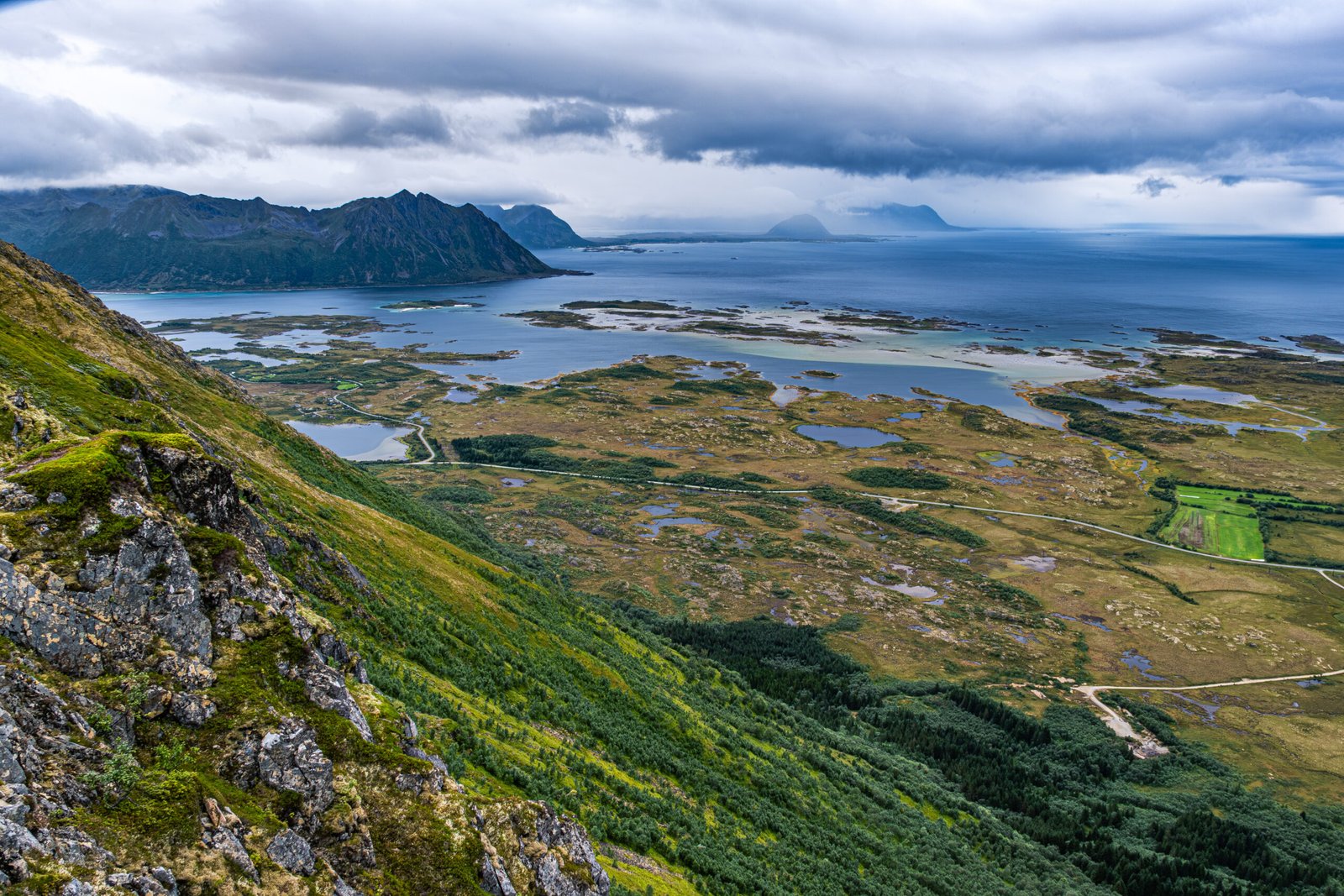
The first mile of the trail is steep, muddy and in the woods. There are a couple viewpoints which looked out over the coastline and Norwegian Sea, but for the most part this mile was merely required work to get to the plateau. Once we reached the plateau, the views were amazing. To the East, is the Gimsoytraumen strait and famous bridge of the same name. The strait is comprised of deep blue and bright turquoise water, and the bridge is surrounded by sand which has accumulated in the shallow water. To the Southeast, were several lakes (Storvatnet, Heimervatnet and Innervatnet) separated by a steep mountain ridge. And to the Southwest was the Matmora mountain. The plateau continued for about 1.5 miles, before the ascent to the summit.
As we progressed toward Matmora, the wind gusts increase, fog moved in and it began to rain. The traverse along the ridgeline was fun, with some minor scrambling, and we could tell that the views would have been great in better conditions. The inclement weather caused most other hikers to turn back, and when we again reached the plateau on the descent, we were the only ones there. Fortunately, the rain ceased and the fog partially lifted for about 45 minutes, which was just enough time to photograph this beautiful scene in solitude.
On the final descent from the plateau, the rain started again, harder than before. It was tricky navigating the mud and tree roots, but there were enough branches and handholds available to work through the steepest sections. Even with adverse weather, this is one of the great trails in Lofoten and is definitely worth the effort.