Bishop Pass and Dusy Basin was our favorite hike of our trip to the Eastern Sierras. It was not our first time on this trail. In June 2024, my son and I climbed Bishop Pass and did a loop around Chocolate Lakes. We knew at the time that the best terrain on the hike was in Dusy Basin and had vowed to return.
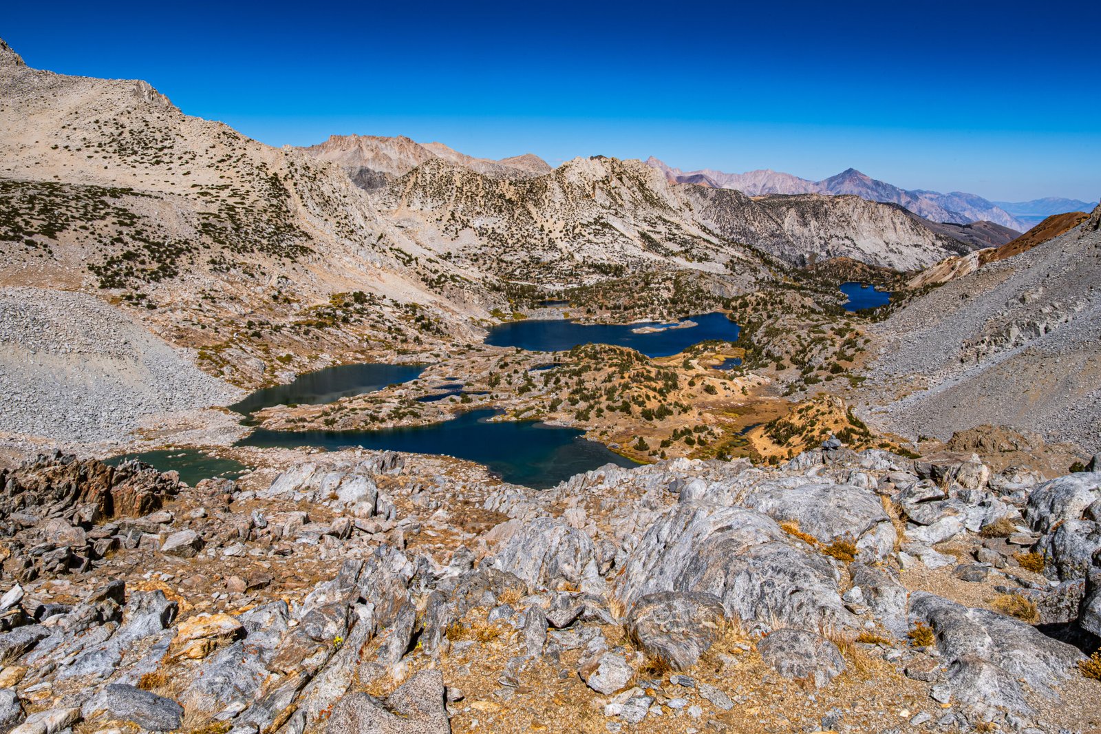
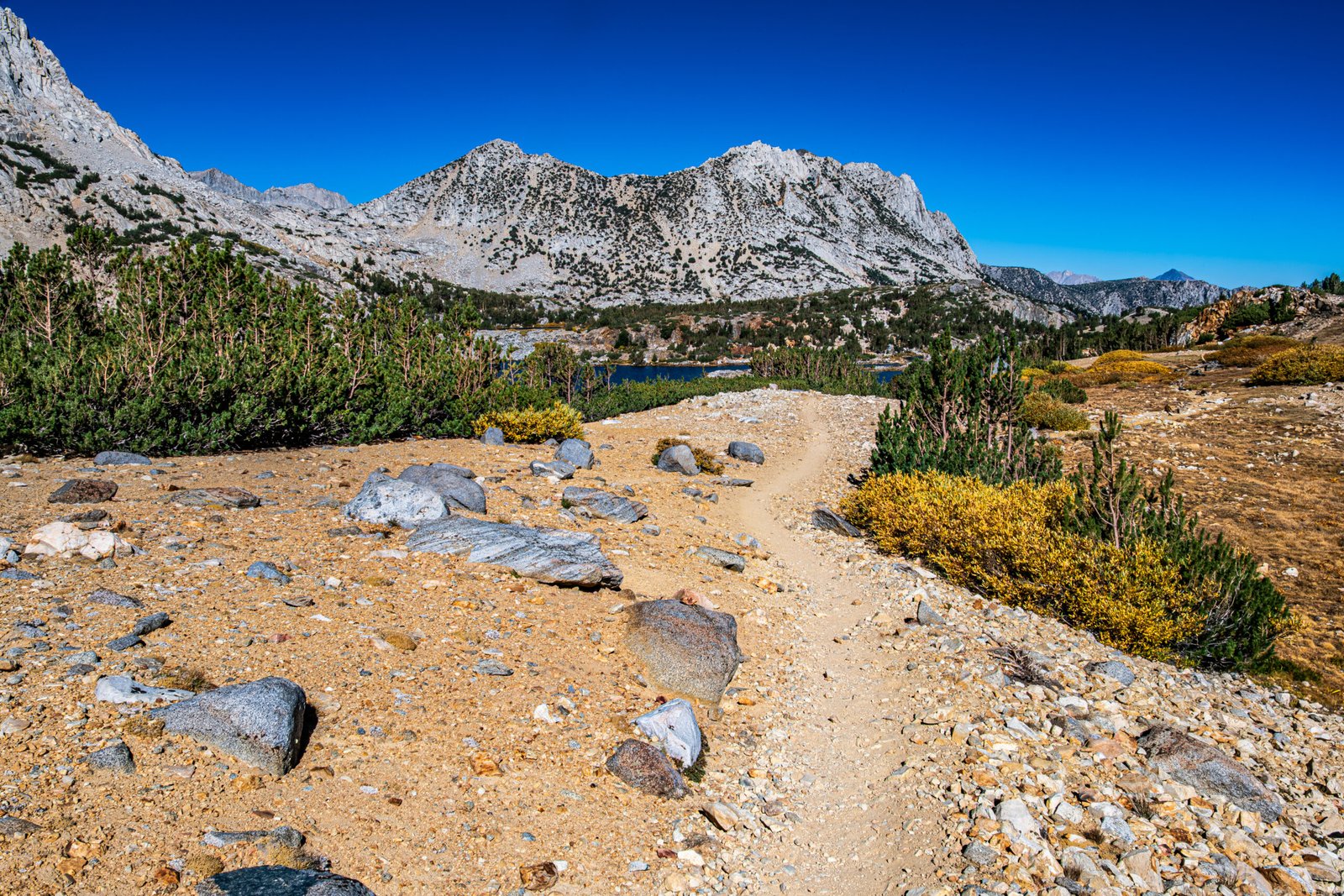
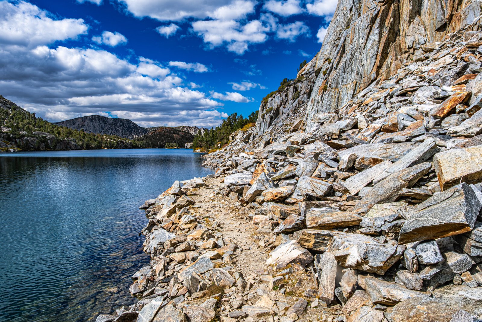
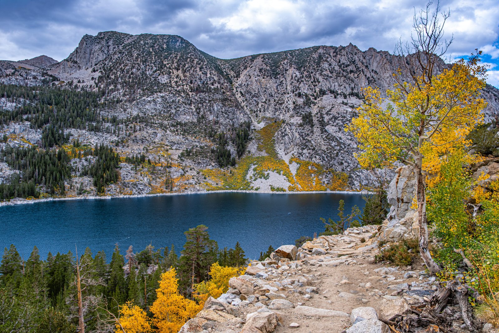
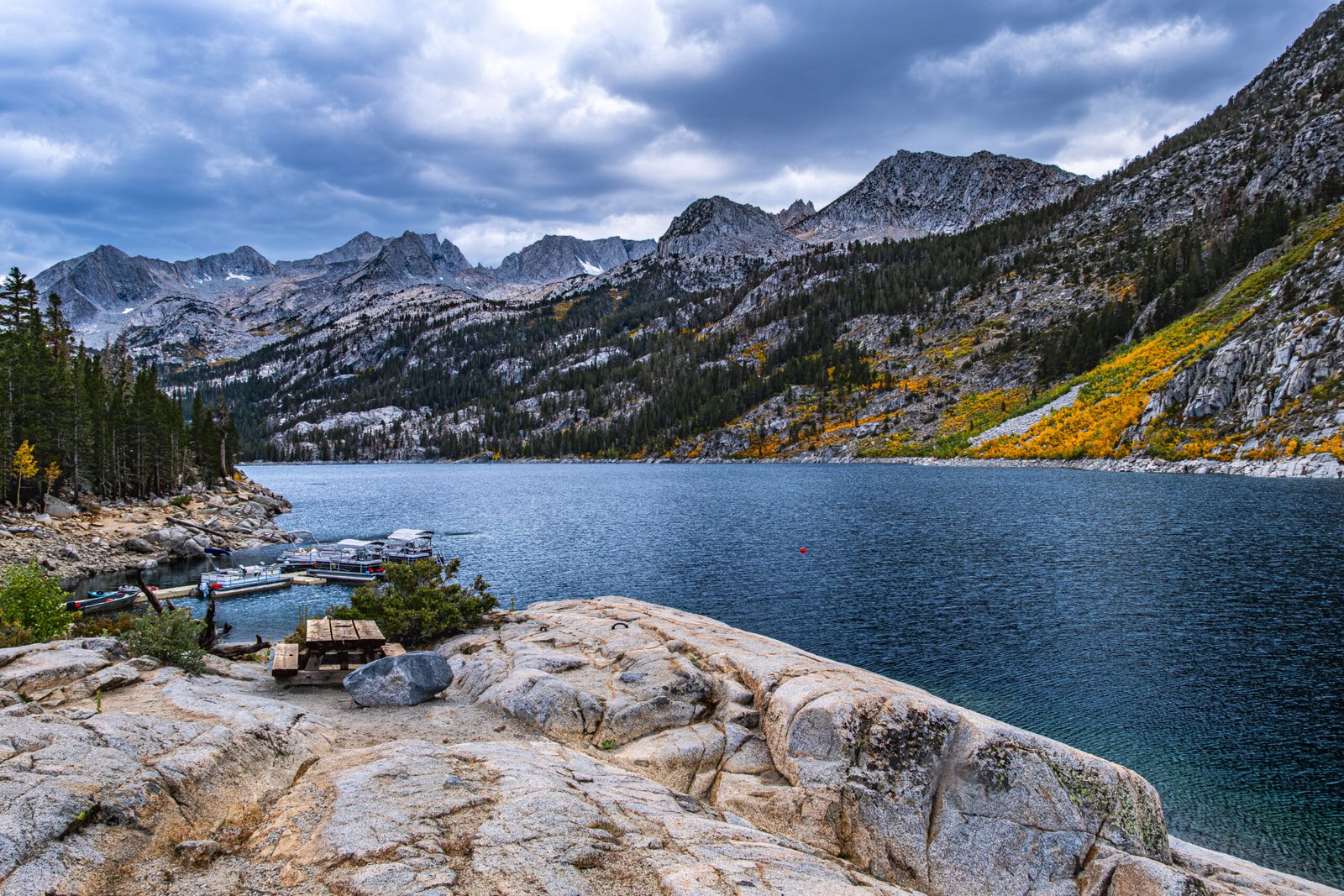
Similar to many hikes in the Sierras, this one is typically done as a multi-day backpacking trip. It is a long day to reach the lakes in Dusy Basin, but is definitely doable with an early start. The trailhead is at South Lake, which was rich in color change owed to the surrounding Aspen trees. After 2 miles in the forest, we reached Bishop Basin. We hiked past Long Lake, Saddlerock Lake and Bishop Lake. The basin is filled with orange sediment, which gives it a characteristic appearance from the pass.
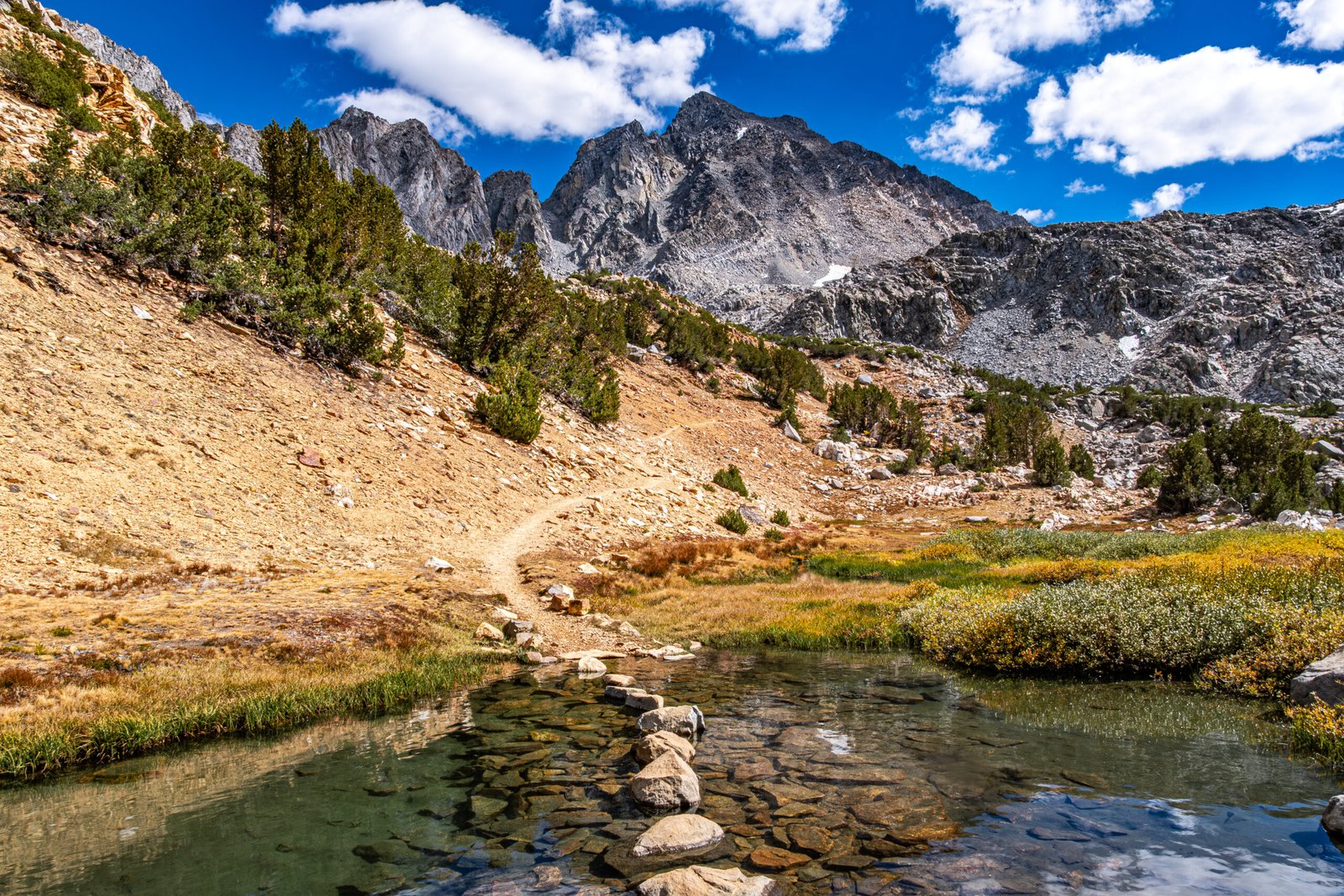
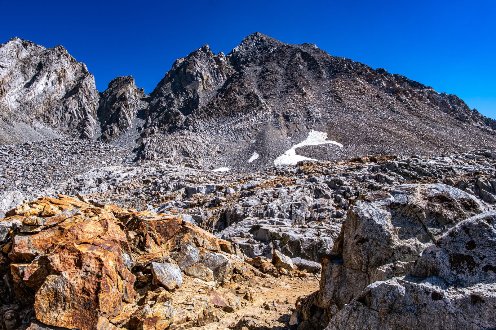
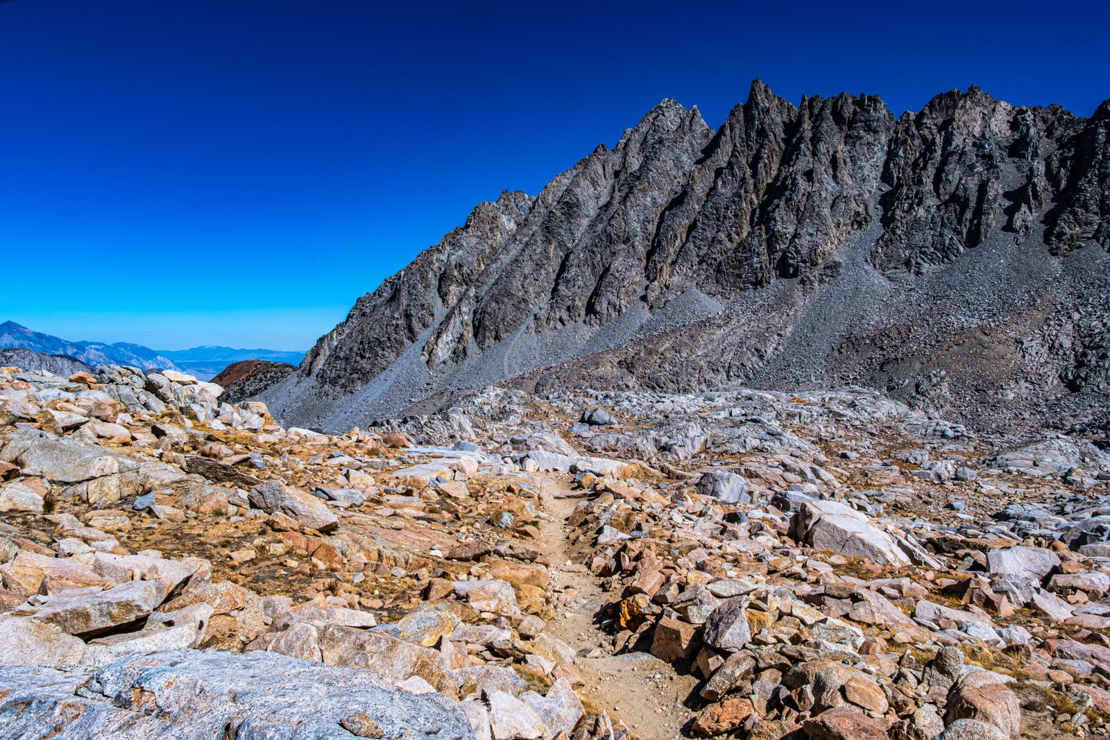
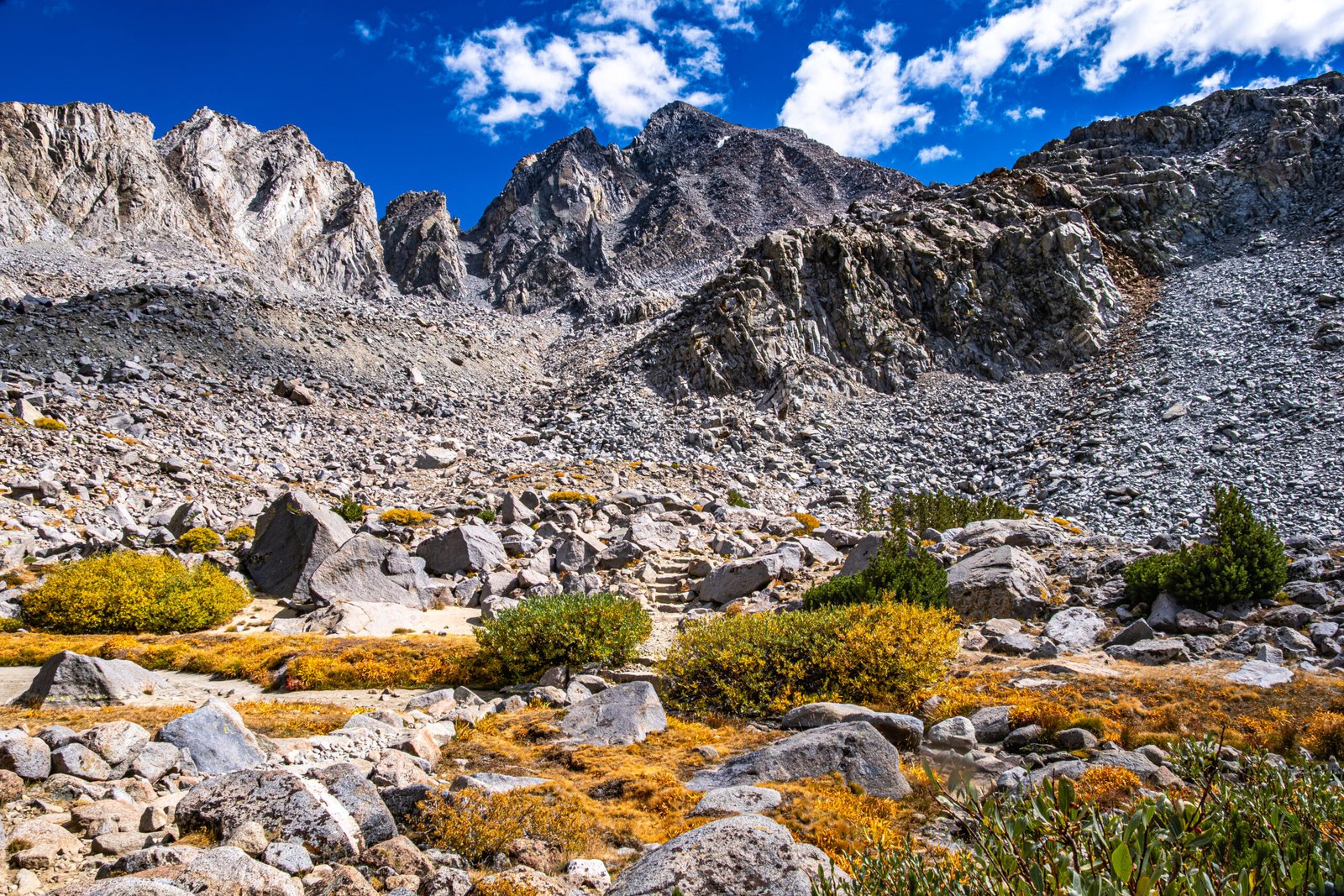
Bishop Pass is one of the most dramatic passes in the Eastern Sierras. On the ascent, you cross Bishop Creek on a rock bridge (first photo on this page), and then climb switchbacks in the shadow of Mount Agassiz. As we climbed, the views of Bishop Basin grew ever more impressive. At the summit, there is a sign indicating entry into Kings Canyon National Park. There is a trail that continues on the North side of Dusy Basin to Le Conte Canyon and the John Muir Trail, but we made a turn off-trail to the Southwest.
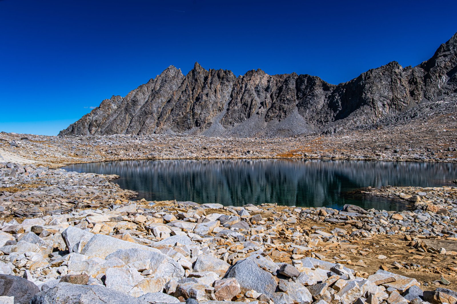
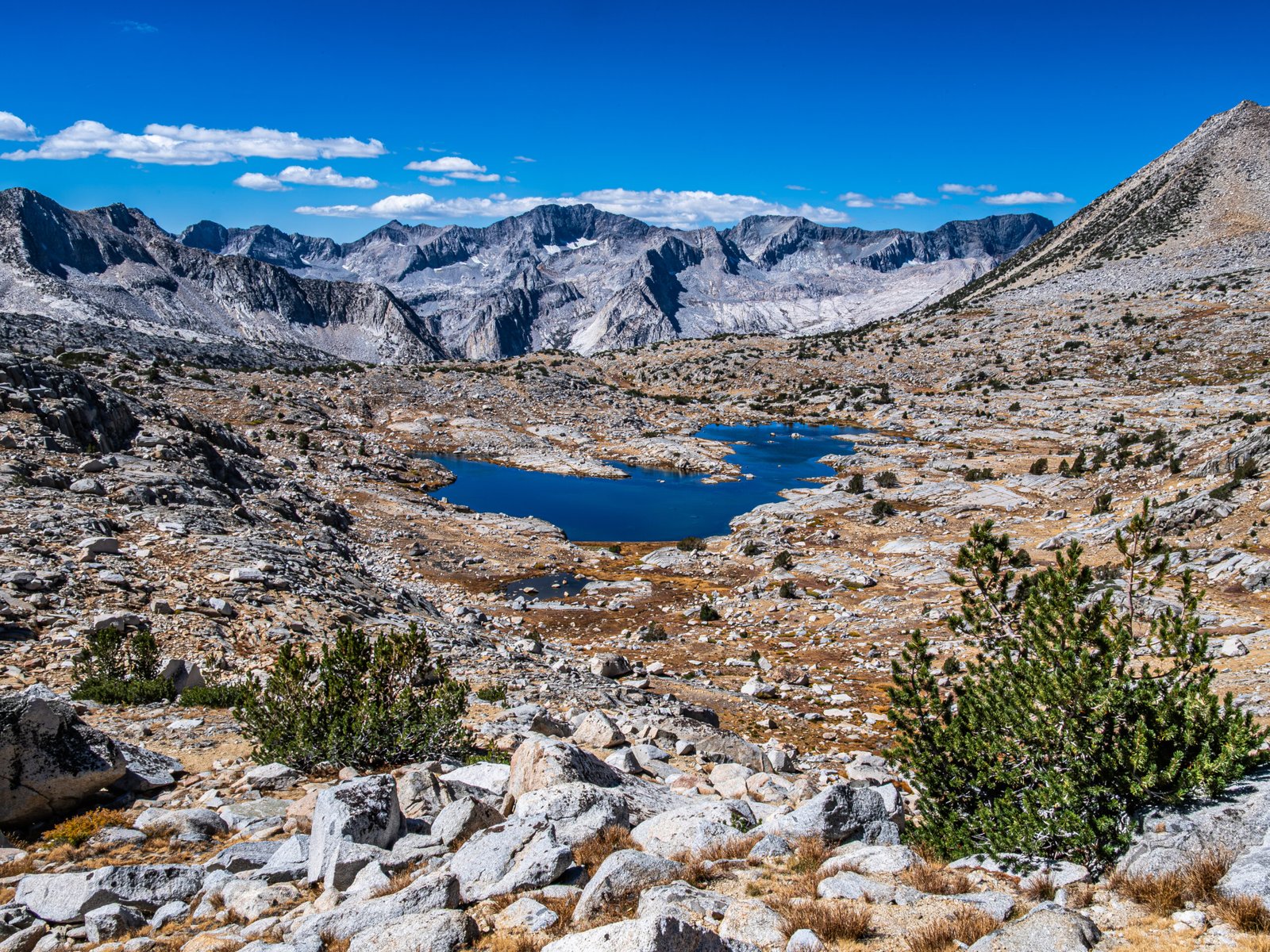
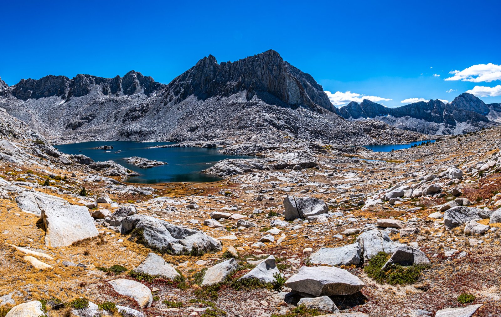
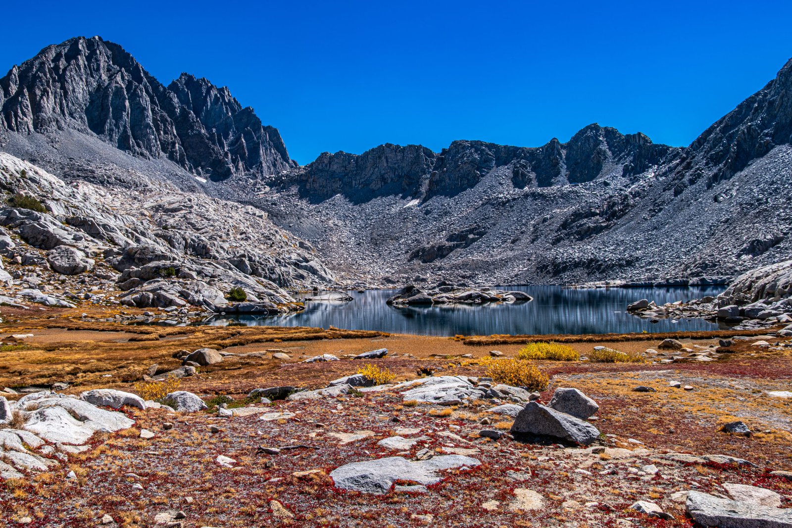
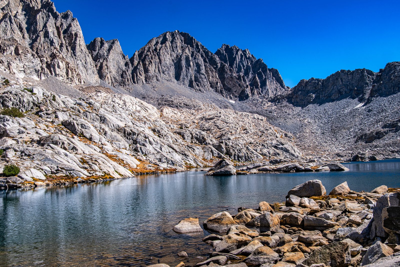
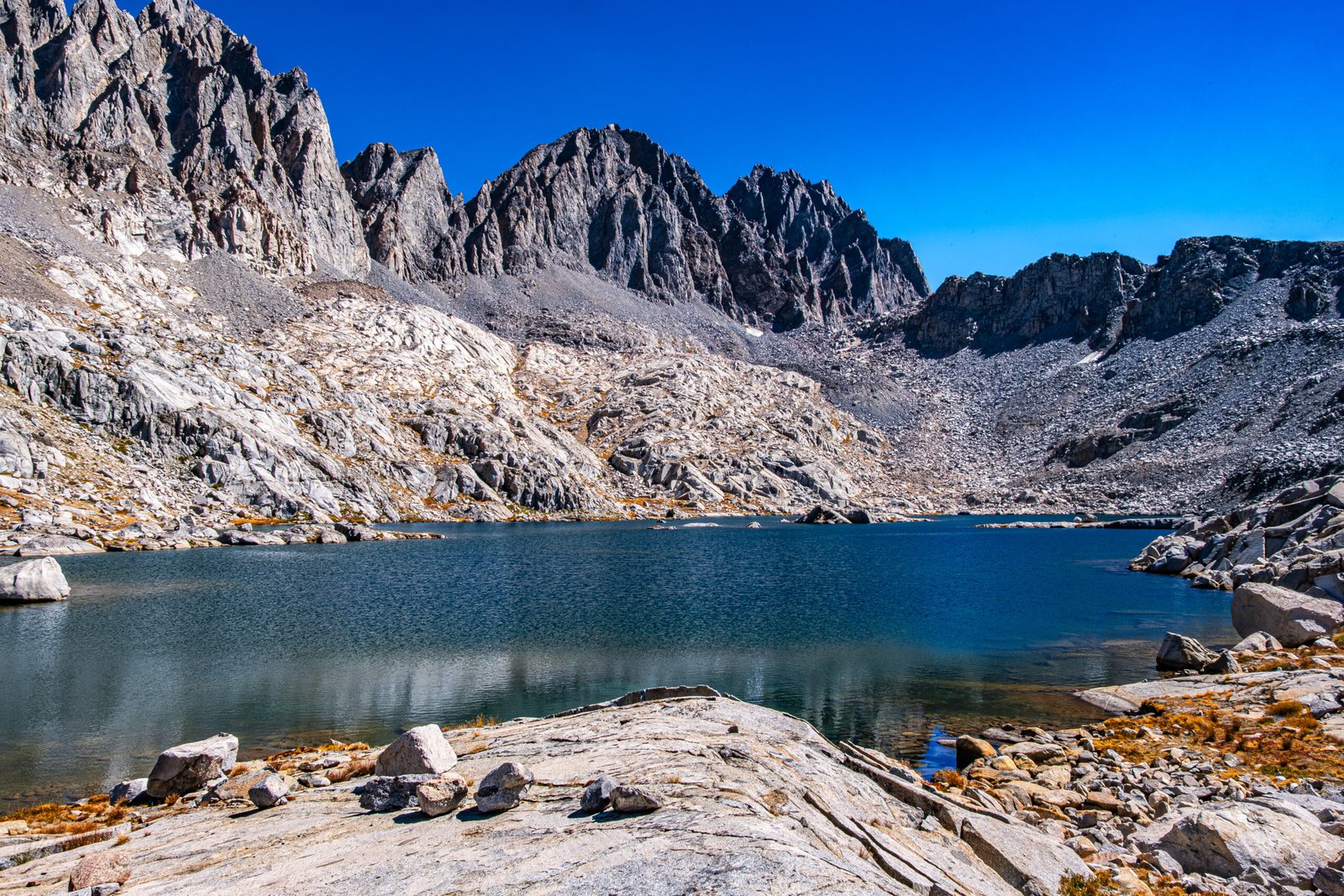
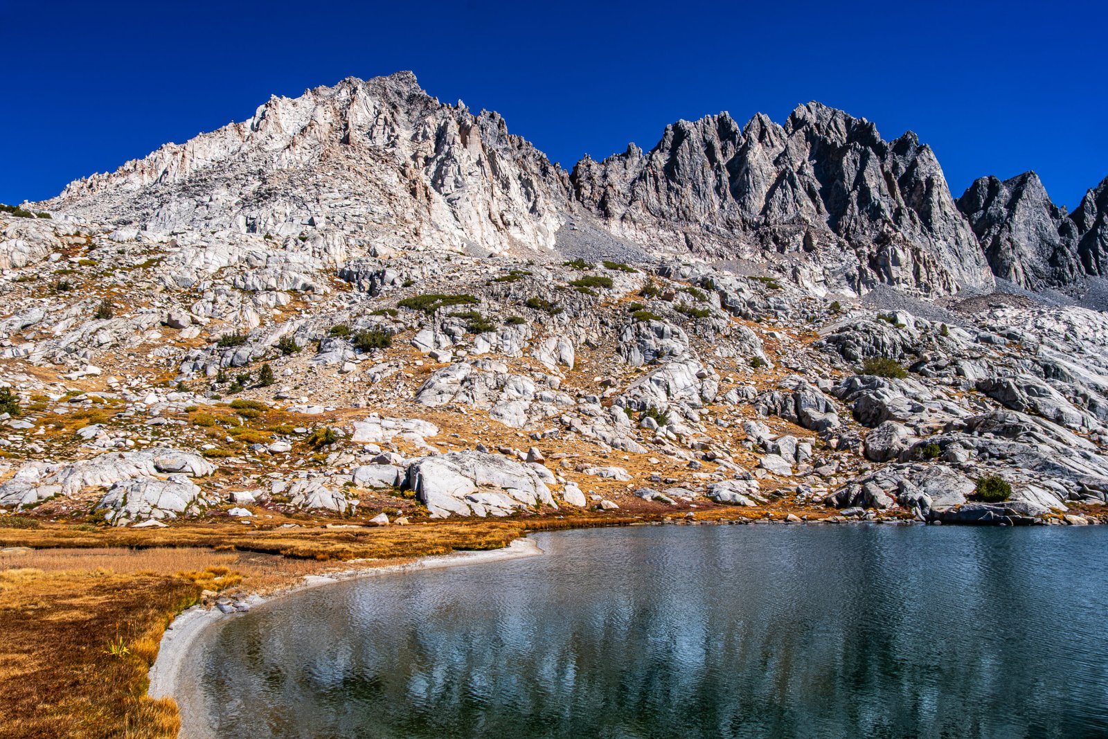
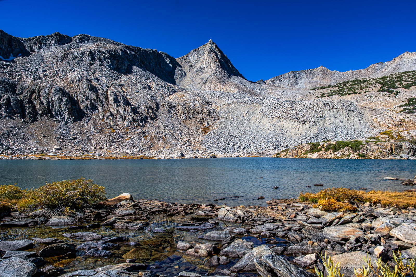
We soon passed a tarn near the Pass, at the base of Mount Agassiz. After the tarn, we bushwacked, albeit without actual “bush” in the alpine basin, down to the unnamed lakes at 11,400 and 11,300 ft. The lakes were separated by Isosceles Peak. Lake 11,400 was lined by Mount Agassiz (13,895 ft), Mount Winchell (13,780 ft), Thunderbolt Peak (14,003 ft) and North Palisade Peak (14,249 ft) on the East side. This was one of my favoite high alpine lakes I’ve visited, and certainly the best one without an actual name.
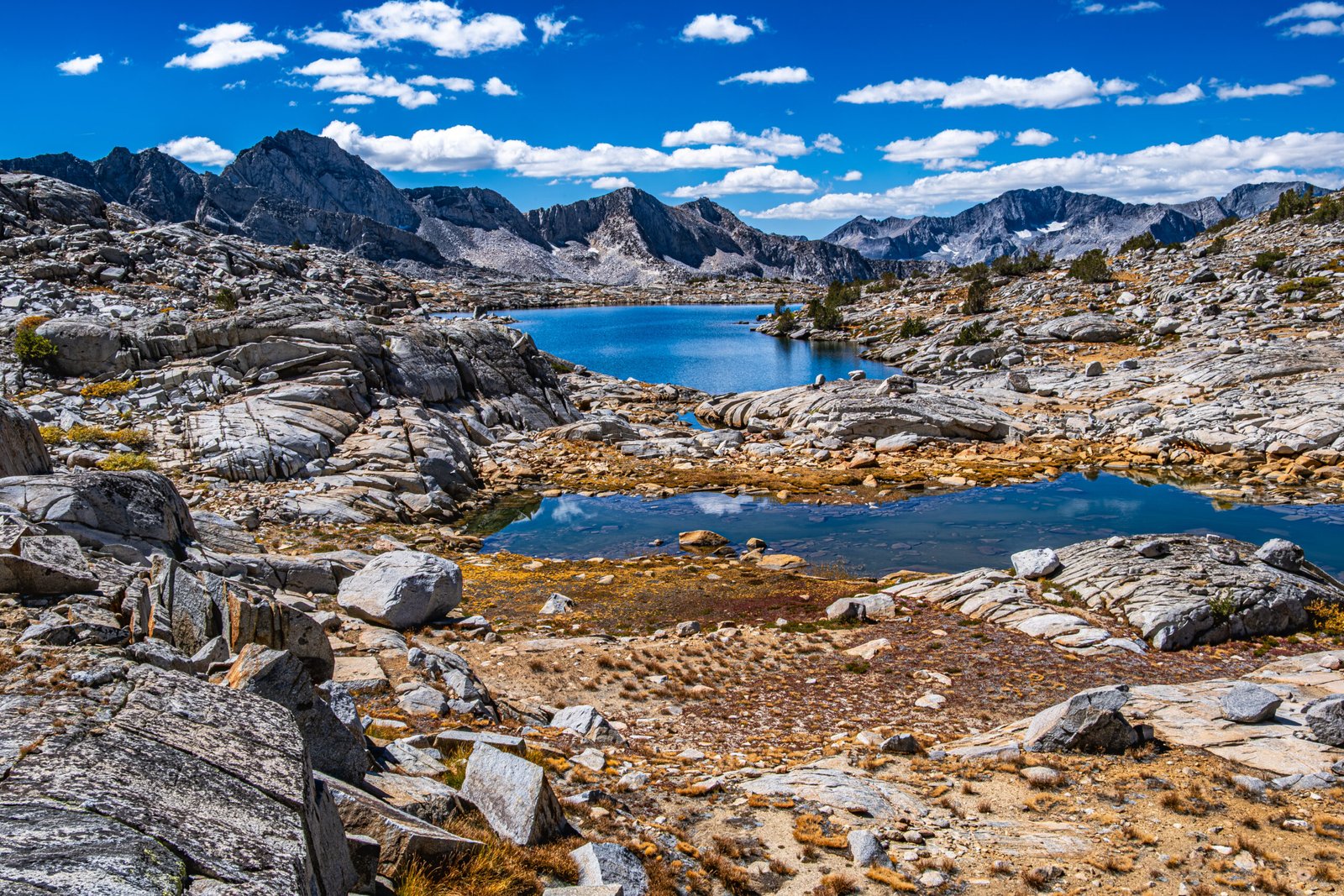
We ate lunch by Lake 11,400 and rested for about a half hour. I used this time to explore the area. I made my way around the lake and then down to the tarn at 11,300 (also known as Columbine Peak Lake). This area was incredible, with colorful ground foliage contrasting with deep blue lakes and stark and rocky peaks (Photo below). This was probably the best 30 minutes of photography of the entire trip. As the crow flies, we were within just a couple miles of where we had viewed Palisade Glacier two days before, separated by a ridge of 13,800-14,200 ft mountains.
We passed just one other hiker, who was returning after having spent the night at the lake, but otherwise enjoyed the basin in solitude. After lunch, we made our way back up to Bishop Pass and descended the trail past the lakes in Bishop Basin. The color around South Lake at the end of the hike was particularly beautiful in the afternoon shadows.
This trail checked all of the boxes. Numerous great alpine lakes, a pass with world-class views, vibrant color-change, some of the highest mountains in the continental US and a pristine alpine basin with unnamed tarns reflecting the majestic peaks. Somehow, this hike is less crowded than others in the Eastern Sierras, which is another plus. Despite its under-the-radar status, this trail tops our list as the best hike in the region.