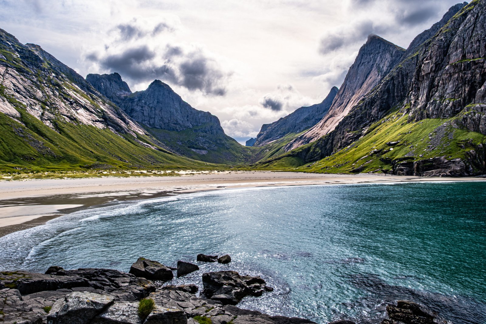
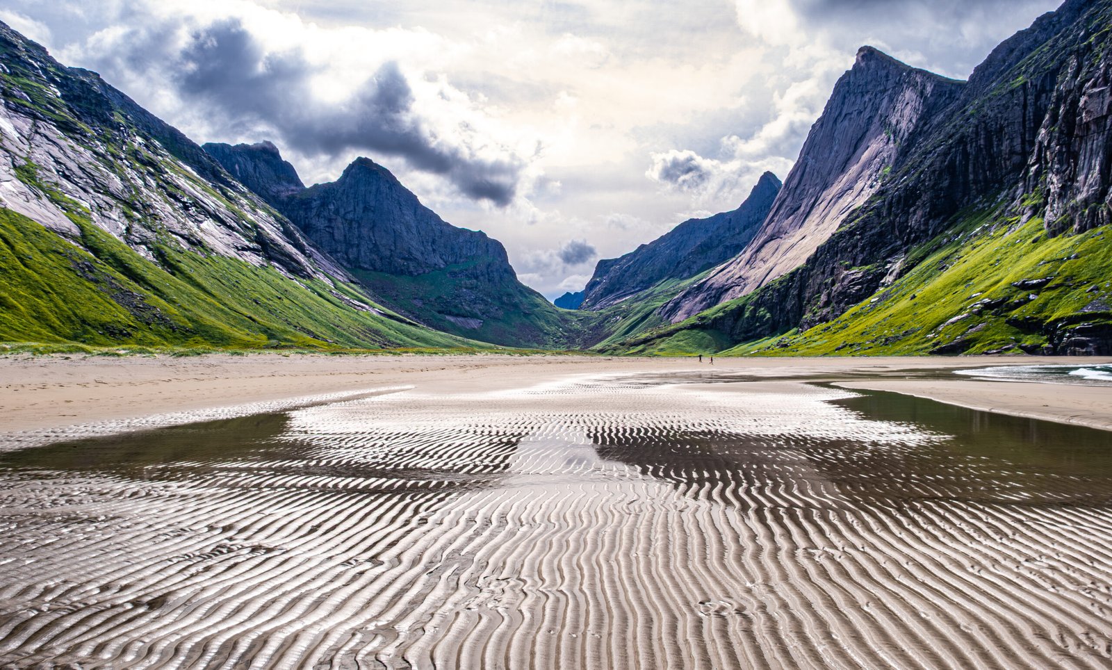
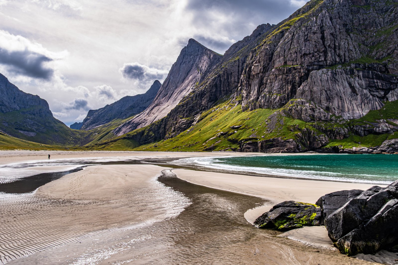
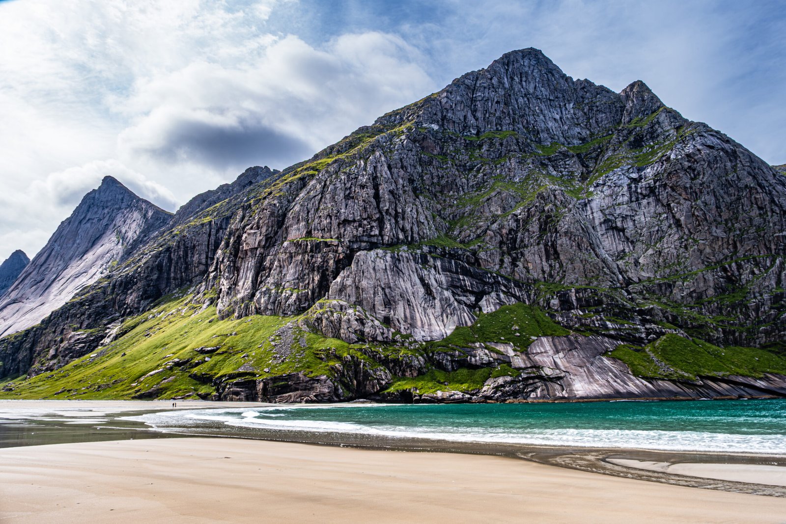
Horseid Beach is one of the great wild beaches on the West side of Moskenesoya. It is the most remote and least visited of these beaches, requiring either a ferry from Reine to Kirkfjorden, followed by a nearly 3-mile one way hike over a pass, or a longer hike through muddy terrain from Selford.
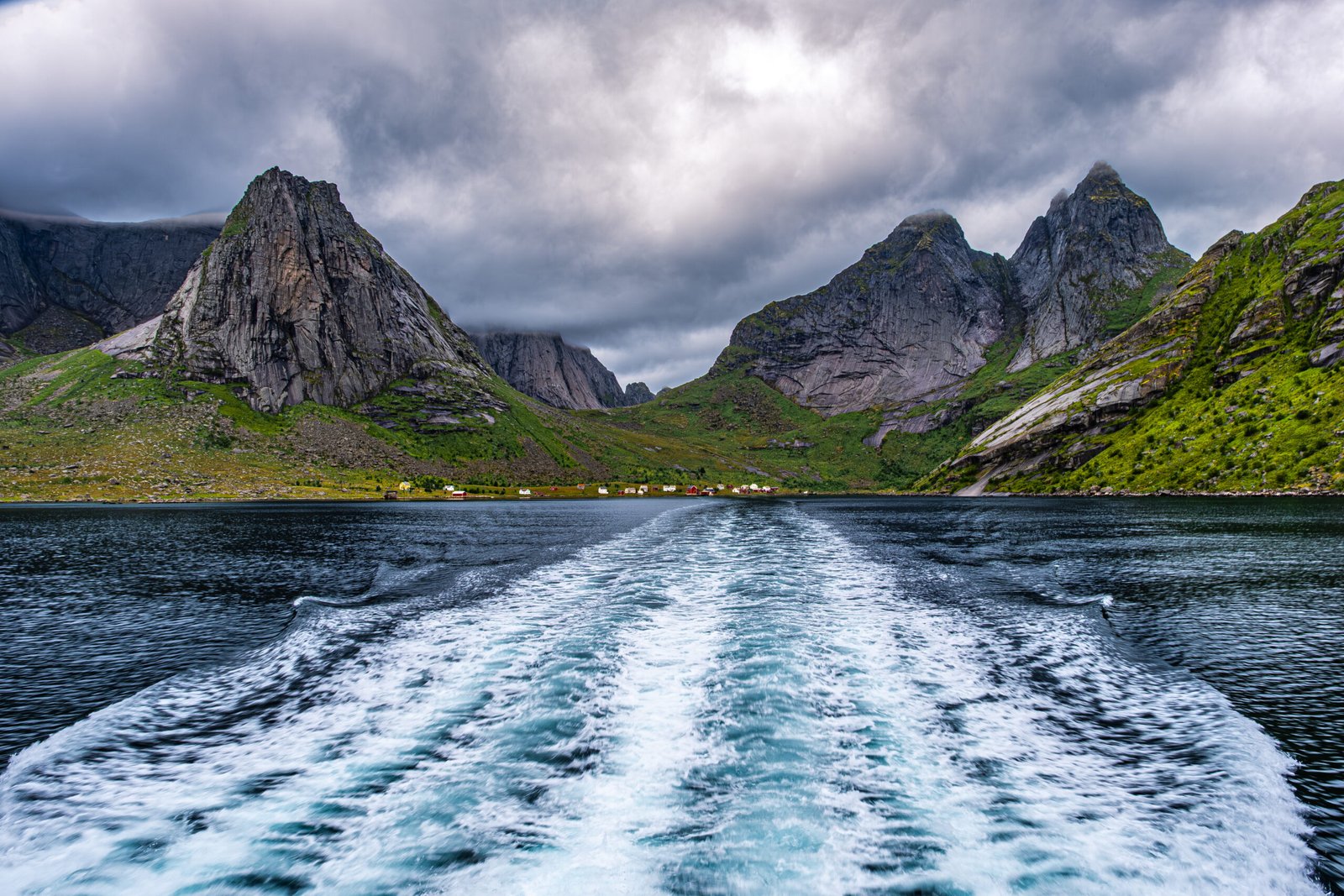
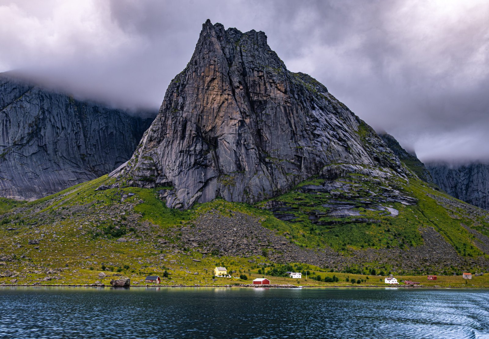
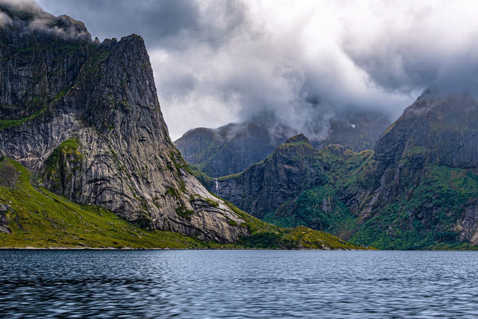
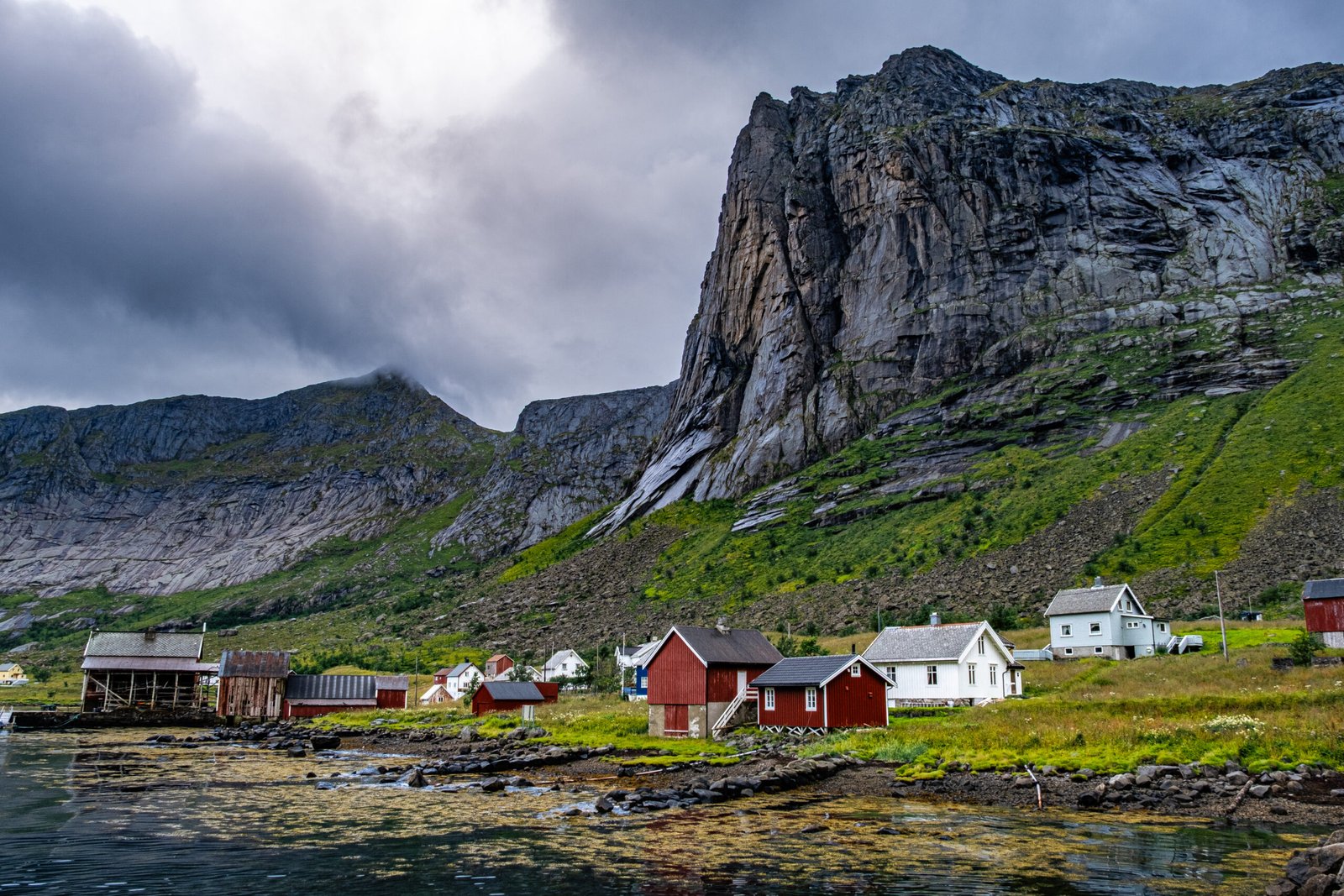
We took the 10:00 am ferry from Reine, which was full. Most of the passengers got off at Vinstad to visit Bunes Beach. Only a handful disembarked at Kirkfjorden. The ferry ride was incredible. One of the highlights of our trip. The scenery was very different in the morning (sunny and clear) versus the afternoon (foggy and moody). The upstairs deck on the ferry is a great place to photograph Bunesfjorden, Kirkfjorden and the surrounding mountains on the way to the hike. There is an unmistakable mystique of taking a ferry or water taxi to a trailhead, which made us feel like we were accessing the most remote backcountry of Lofoten.
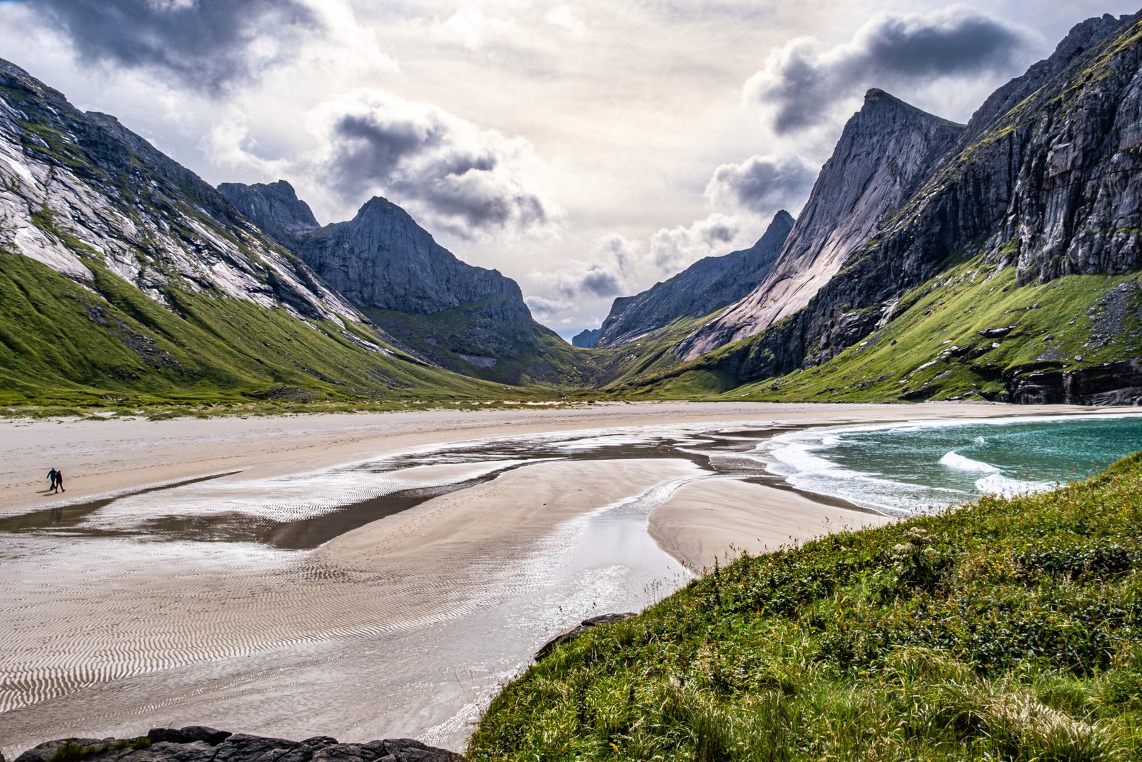
Horseid Beach is on the shortlist of the most amazing beaches we’ve visited. This white sand beach is narrow in width, but nearly a mile deep, requiring a lot of steps on soft sand to reach the water. It is surrounded on all sides by mountains rising over 2000 ft above the Norwegian sea. There is a raised black rock formation on the North side of the beach where the sand meets the sea, which I found to be the best vantage point for photography. We spent nearly an hour at the beach and enjoyed great weather.
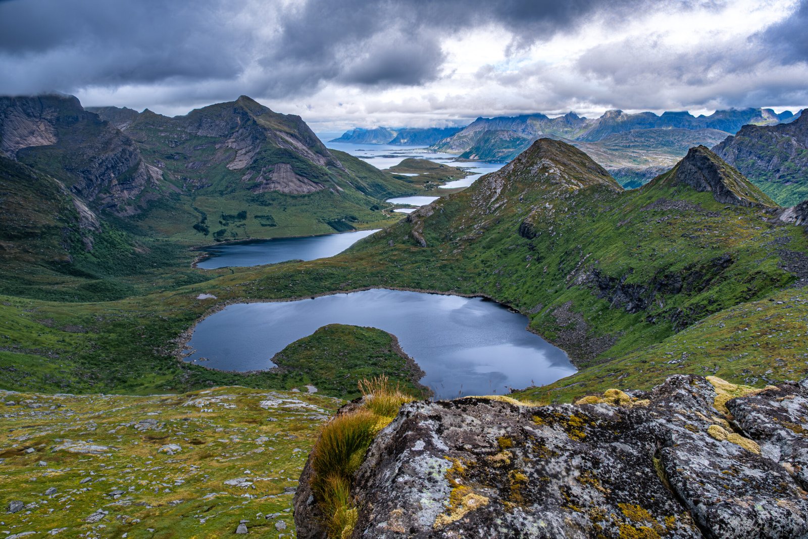
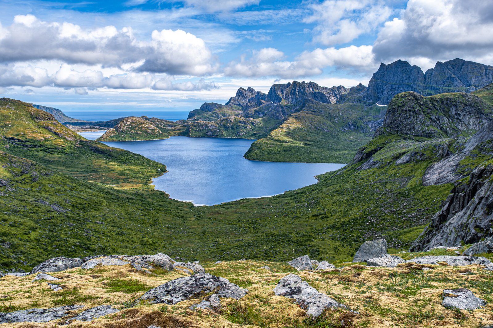
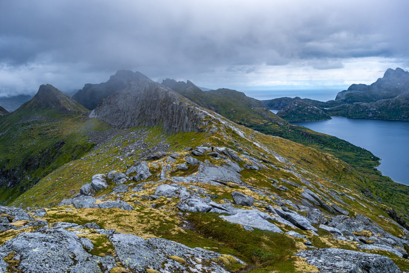
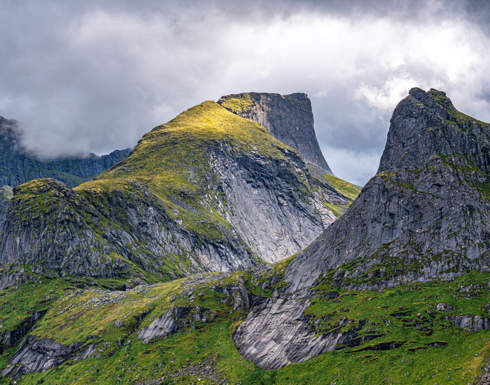
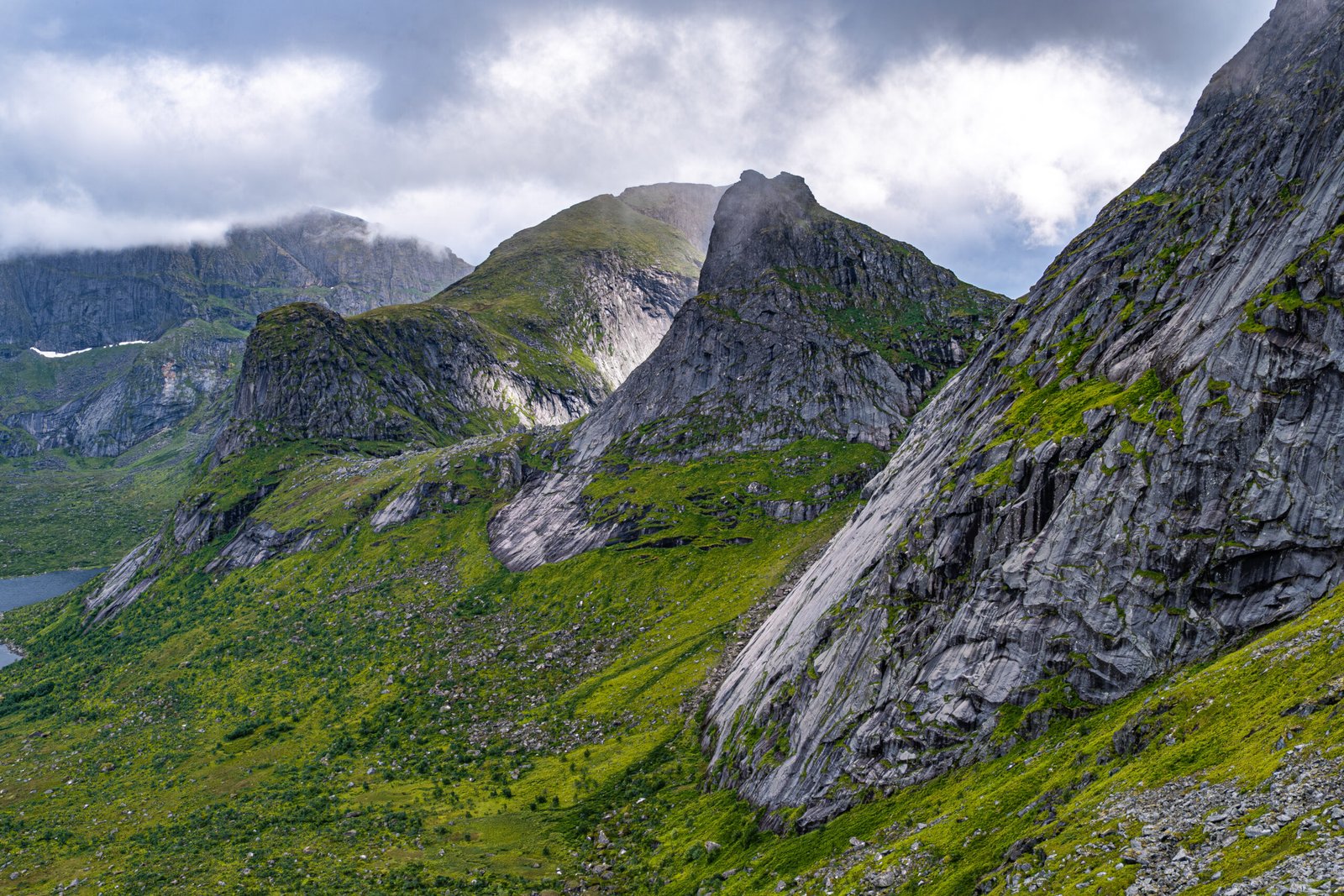
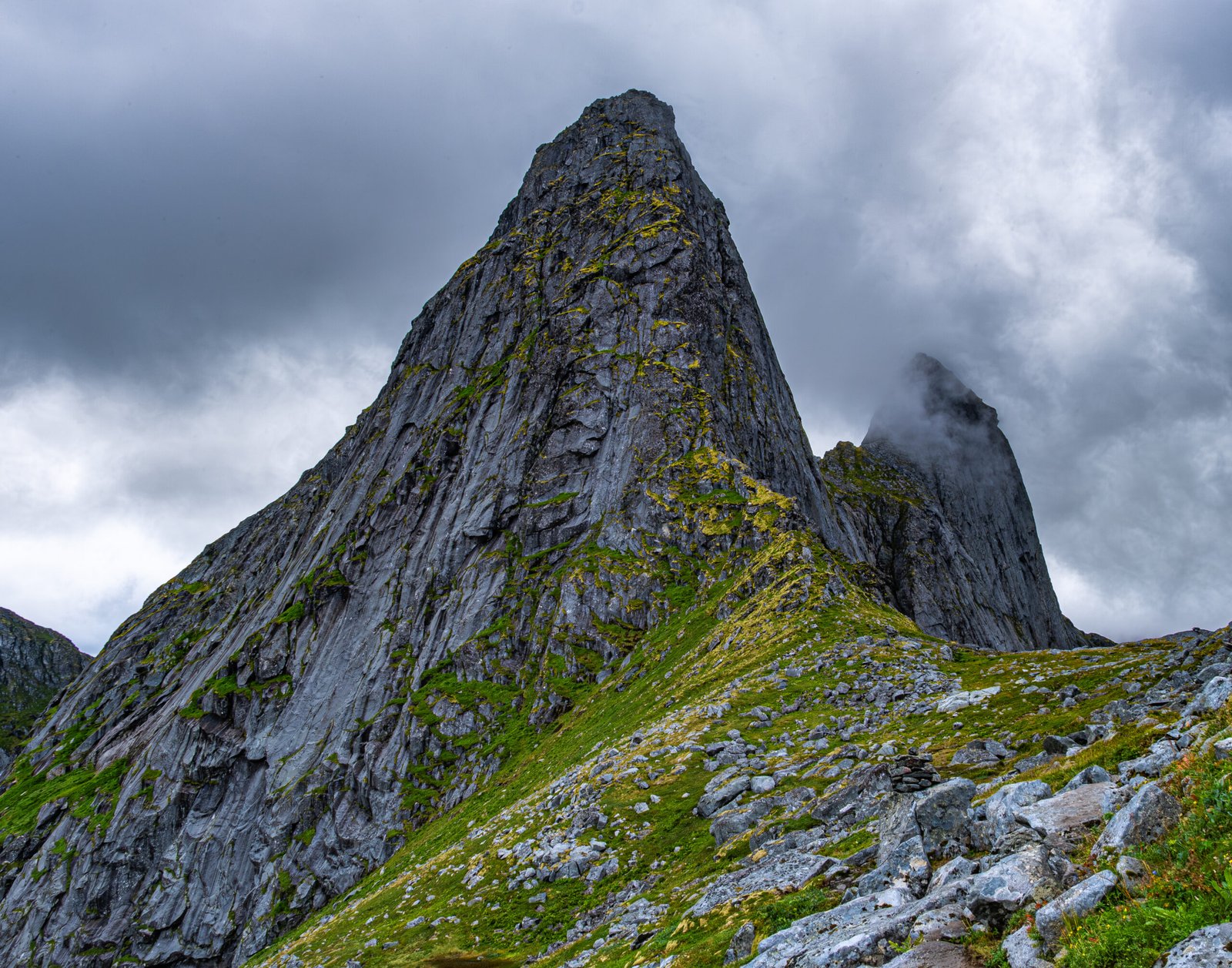
Thereafter, we retraced our steps to a small lake and then started our ascent to the north toward the pass between Krokhammartindan and Markan. The trail was muddy and steep, per norm for Lofoten. The views from the pass of Solbhornvagnet to the east were phenomenal. My wife and daughter waited at the pass, while my son and I continued on the traverse to the next pass and on to Markan. We encountered a group of hikers coming from Selford who were completing the Lofoten Long Traverse. The traverse between the passes was tricky in a couple areas, but the final ascent to Markan was straightforward. The views in this section of the hike were among the best of the day. Unfortunately, a dense fog rolled in before we reached the summit.
It was 3:30 pm when we reached the summit, with our return ferry to Reine leaving Kirkfjorden at 6:10 pm. It was going to be tight. We started our descent. Rain clouds had been looming behind the mountains to the south all day and, at 4:30, the downpour finally started. It was a muddy mess getting down from the pass and then over the next pass on the way back to Kirkfjorden. It rained for over an hour. By the end, we were running. My son and I made it back to the dock about 5 minutes before the ferry departure, relieved that we didn’t have to spend the night there in a makeshift camp.
In total, this hike measured 9.6 miles and 3570 ft of vert. It was challenging because of the time pressure at the end, but was not overly technical. I would consider it moderately difficult. It was a complete day with numerous highlights, varied weather and terrain and provided some of the best photography opportunities of the trip.