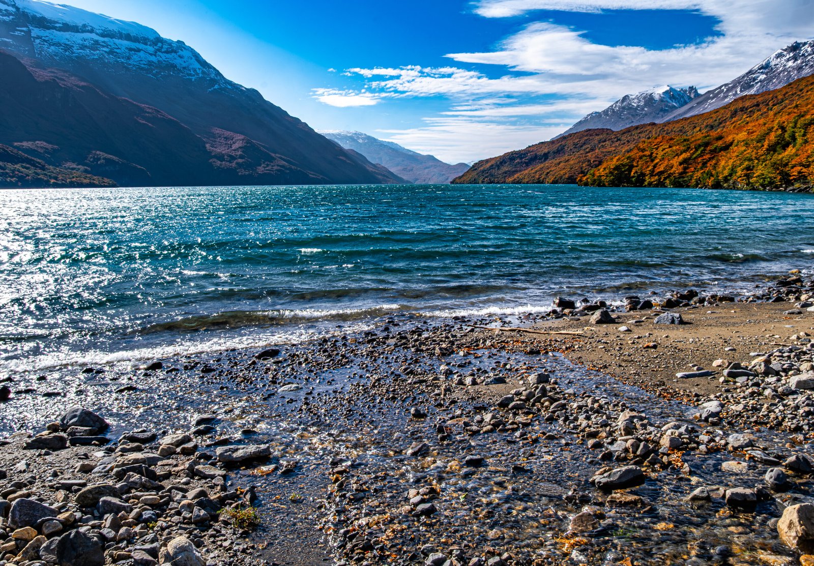
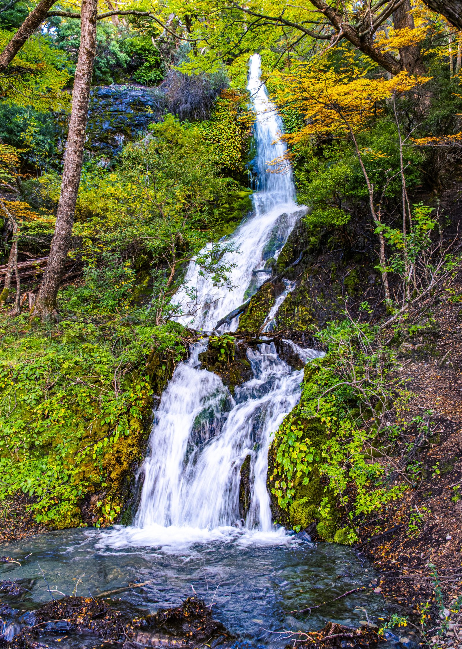
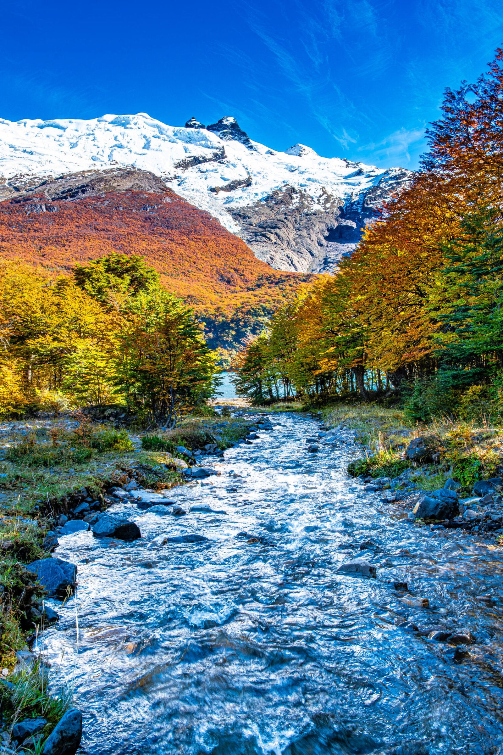
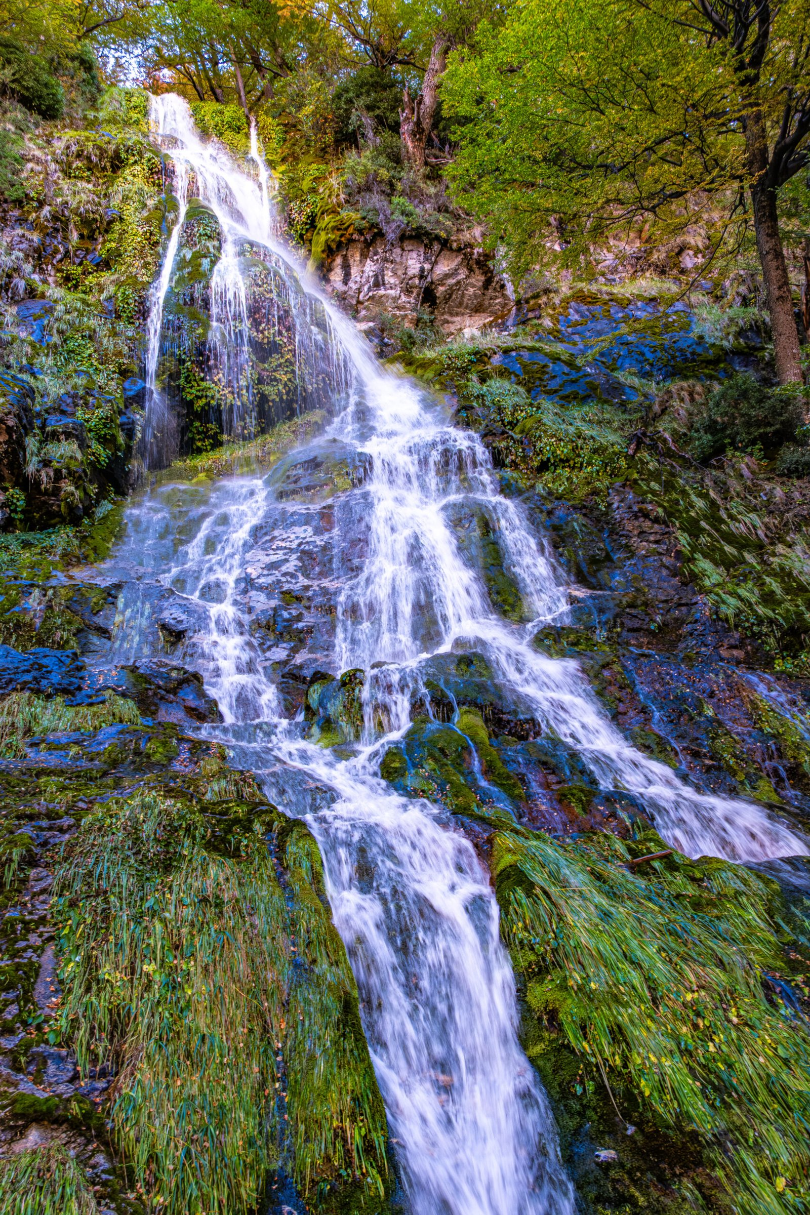
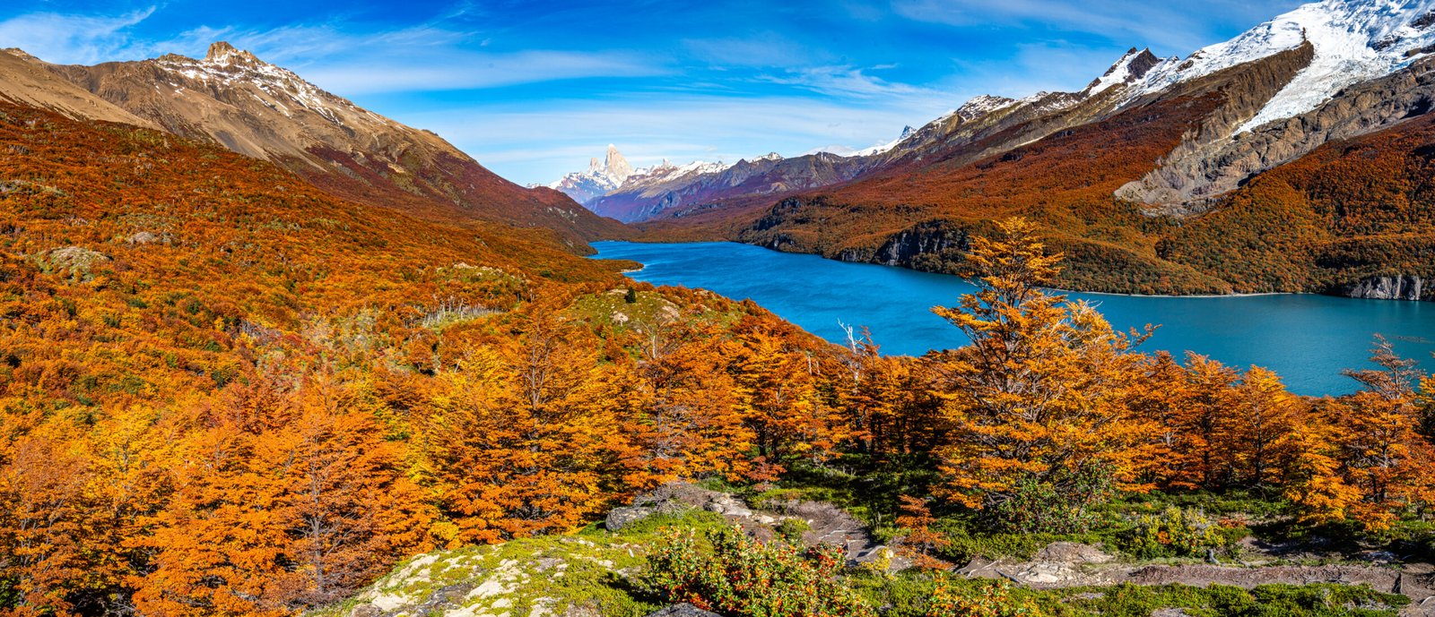
Lago Desierto was our best “find” on our trip to Patagonia. The lake lies 23 miles North of El Chalten, but the road is unpaved, so the drive takes a little over an hour. There are numerous viewpoints along the road, including waterfalls (photo of one below), the river and adjacent mountains, so depending on how many times you stop, the drive can take much longer. The lake itself is long and narrow, tucked between the Southern Patagonia Icefield to the West and the desert to the East. It measures 7.5 miles North-South, but only half a mile wide.
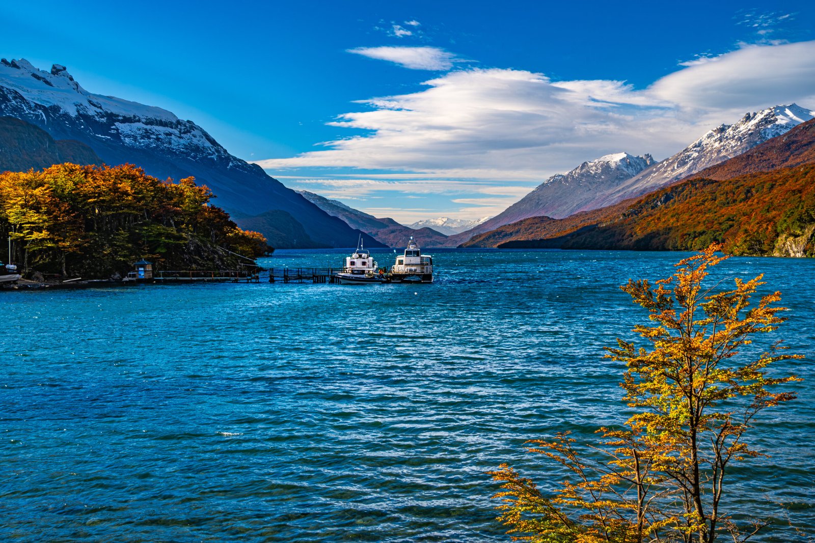
Unlike the busy trails in Los Glaciares National Park, the area around Lago Desierto is devoid of people. We booked a boat transfer to the North end of the lake with the intent of hiking the trail from North to South. Unfortunately, we waited over 45 minutes and no one showed to taxi us across the lake.
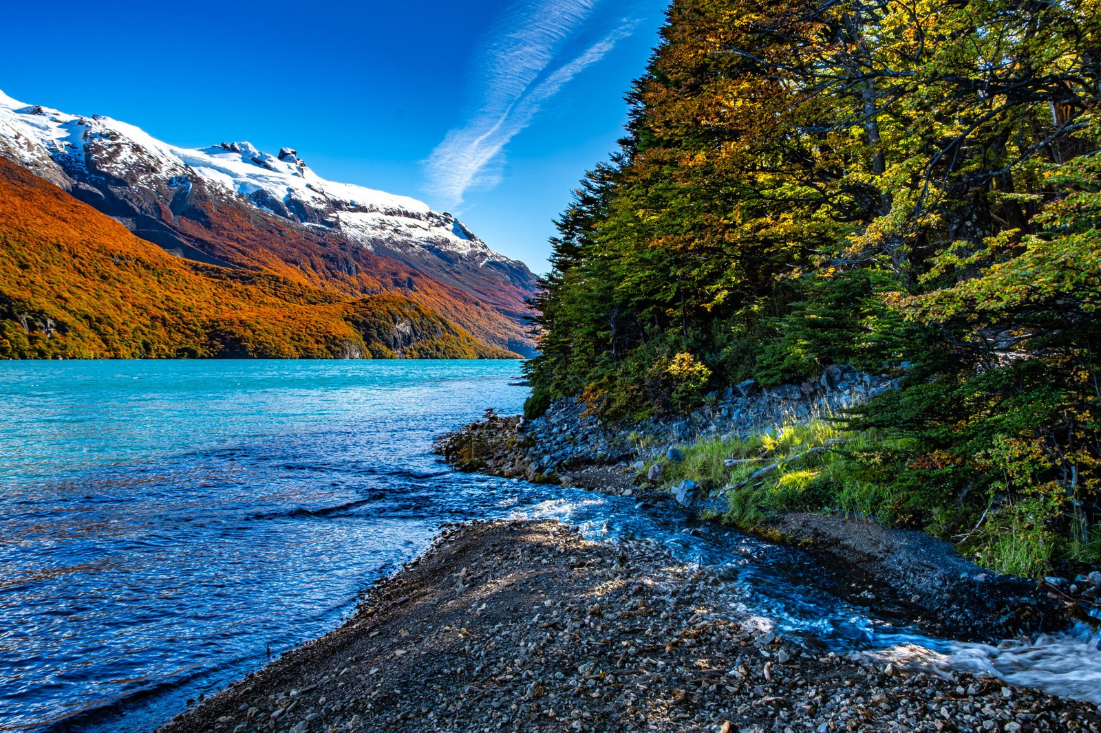
Somewhat disappointed, we decided to do an out and back hike to the best views just past the midpoint of the lake on the East side. We started over the suspension bridge and into the forest. The trail has rolling elevation gain and loss through the first several miles, and was quite muddy. This part was surprisingly difficult in some sections. There is a beautiful waterfall in the forest. Shortly thereafter, we crossed a stream, which led to a sandy beach on the lake. This is a great spot for lunch and a few minutes of rest, enjoying the views of the lake and mountains from water level.
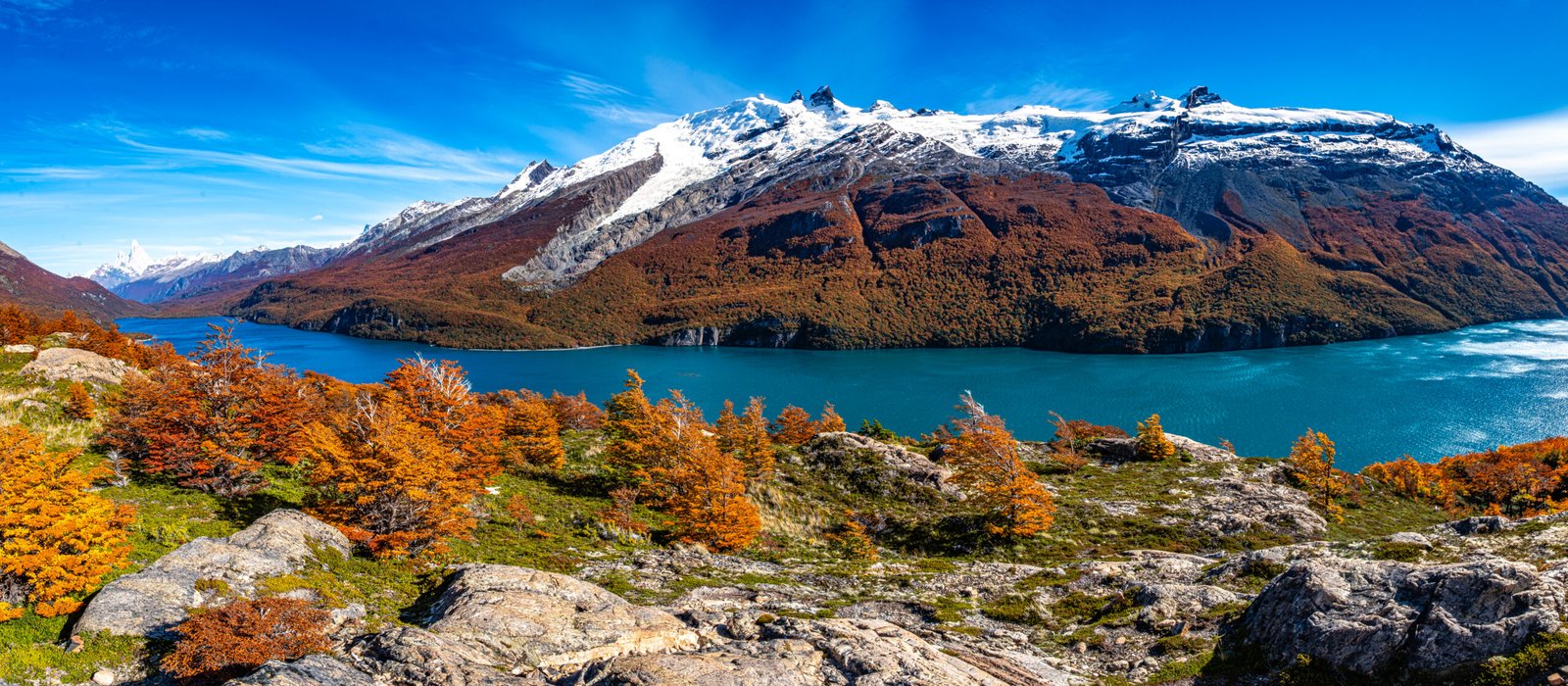
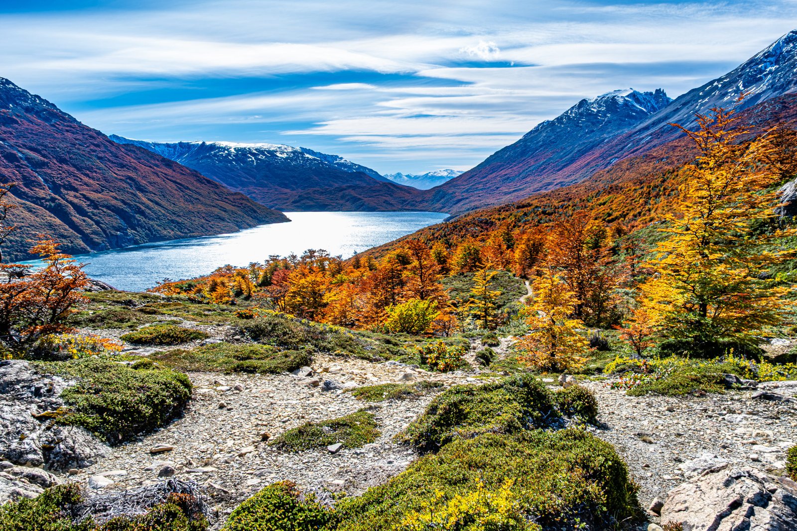
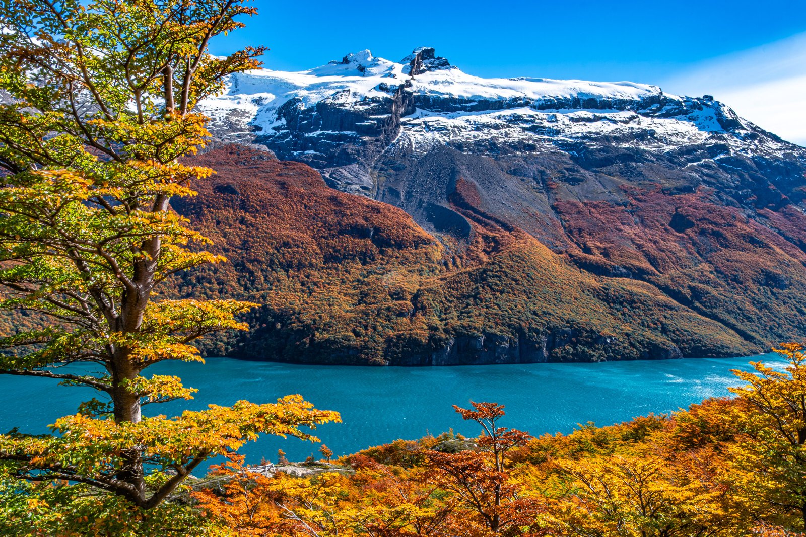
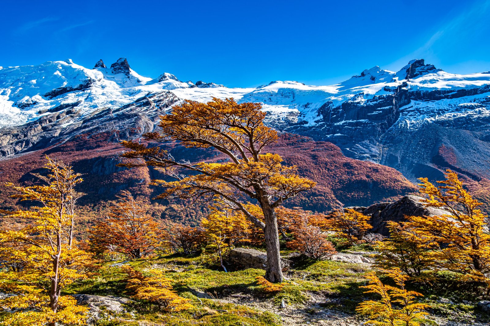
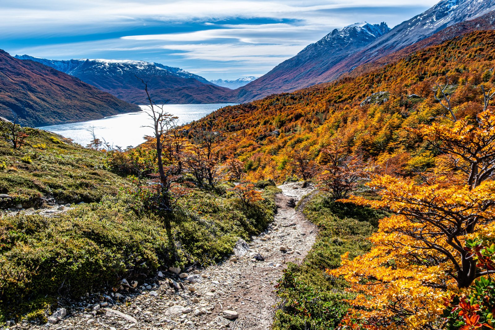
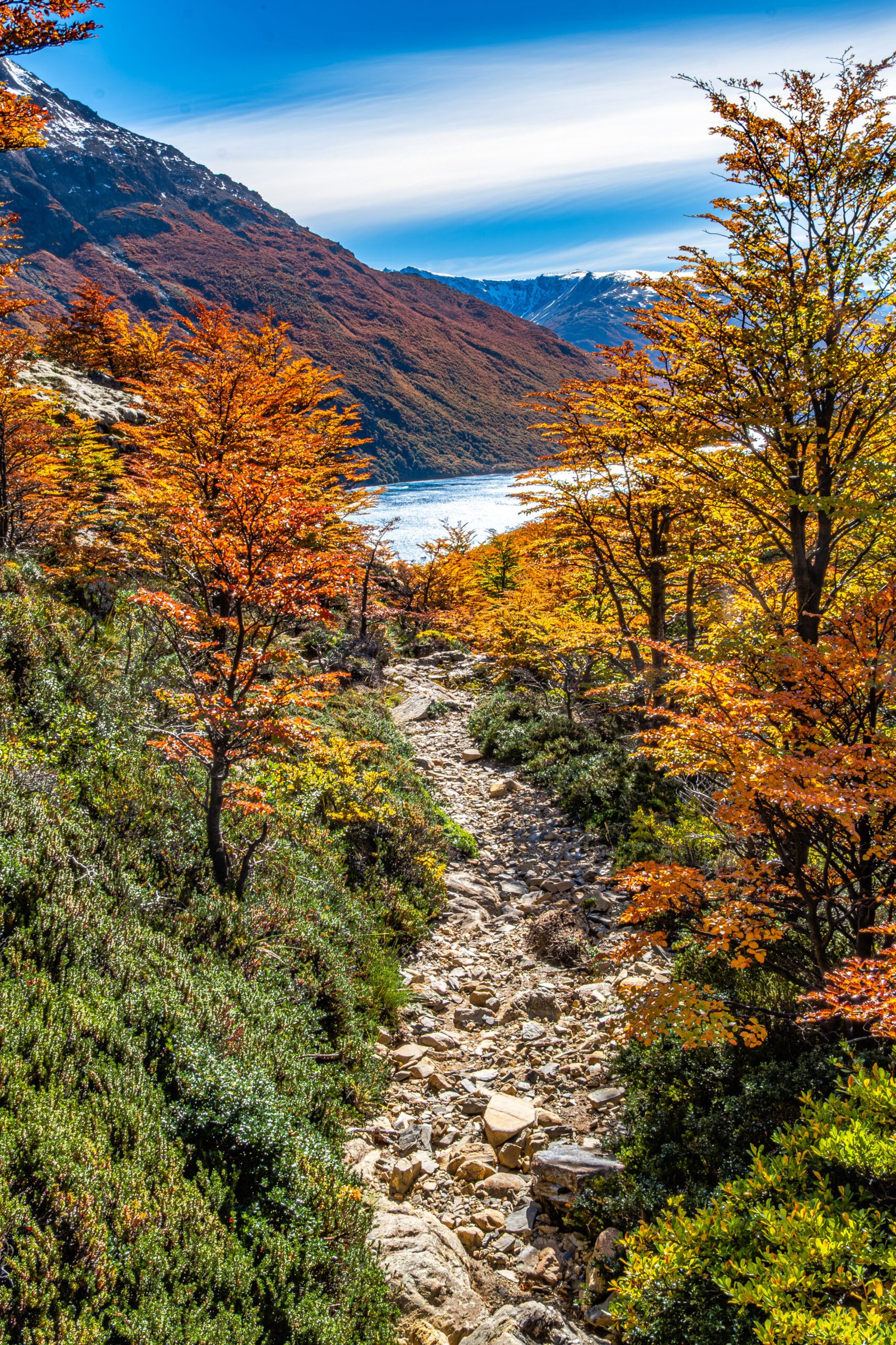
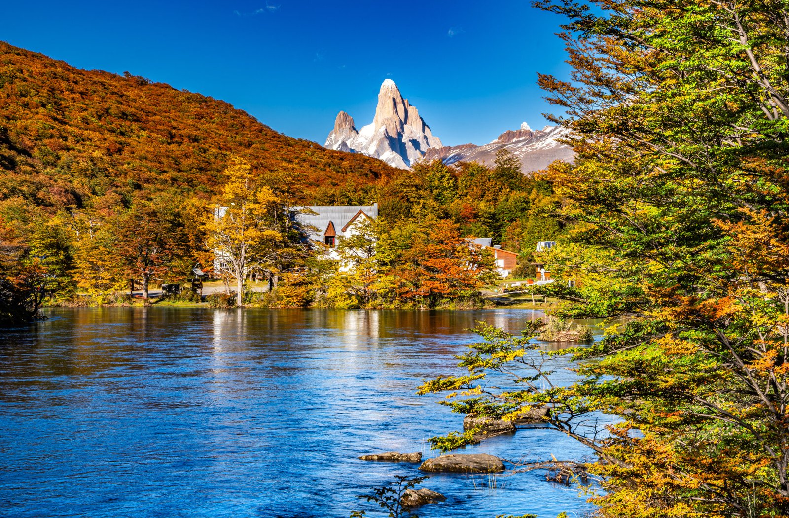
After the beach, the trail ascends roughly 500 ft to an open section with epic 360 degree views. To the North, we could see into Chile and to the South, there were views of Fitz Roy. The highlight was the view to the West of the Southern Patagonia Icefield, with glacial tongues emerging through the upper portion of the mountains, below the icefield are lenga forests in full color change with the deep blue Lago Desierto at the base. This is one of the most dramatic and colorful views of our trip. We went a mile past this viewpoint, before turning around and enjoying it again on the return.
We didn’t see another person on this hike, which is amazing since the scenery is every bit as good as we saw in the national park. We found the drive on Provincial Route 41 to be fairly easy when compared to other unmaintained mountain roads we’ve driven. This hike is a great option and highly recommended it if you have more than 3-4 days in the area. I think the best hike would be from North to South, if you can secure reliable transport across the lake. We would definitely plan to repeat the trail this way on a future trip to El Chalten.